
🤔 What is the difference? 🏝️Intercoastal: Means “connecting the coast.” 🏝️ Intracoastal: Means “contained within the coast.”
When I first began navigating boats around Venice, Lemon Bay, and Gasparilla Sound, I kept asking myself the same question:
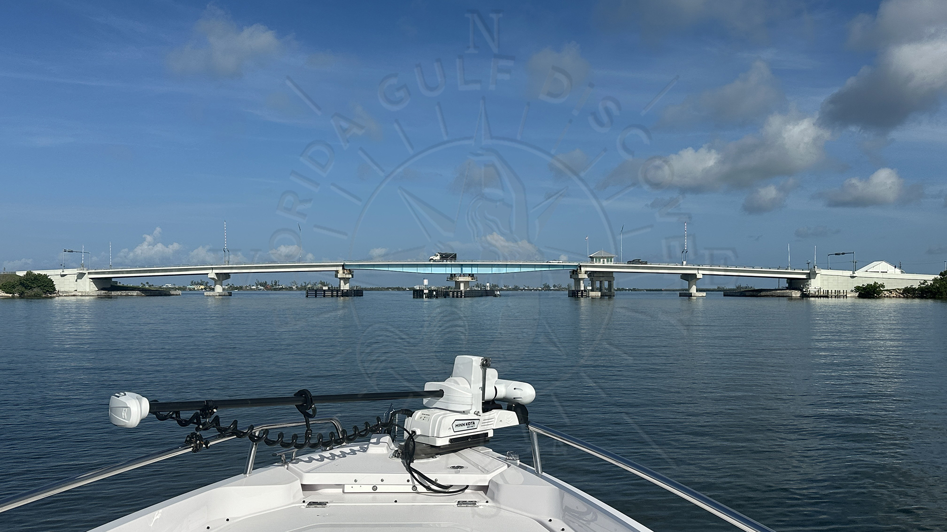
Why are some places so narrow between the ICW markers, while right next to them the water is wide, flat, and extremely shallow?
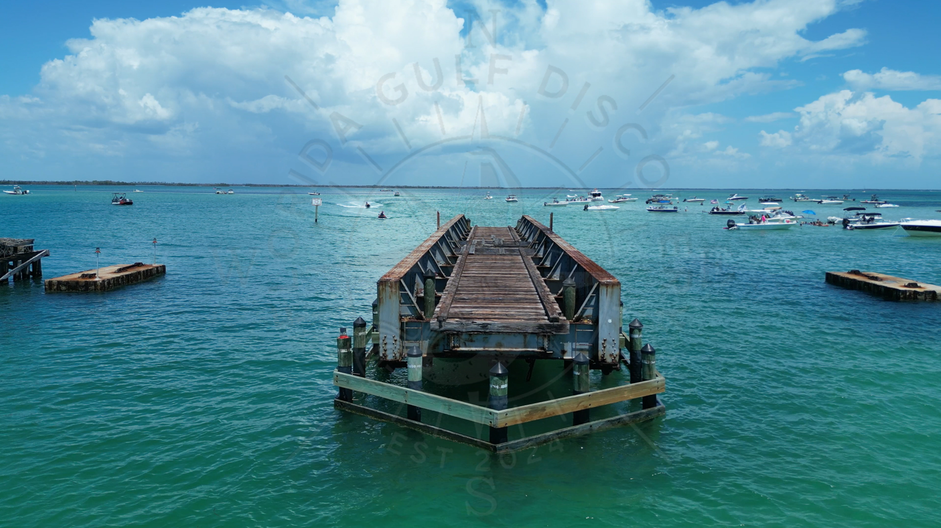
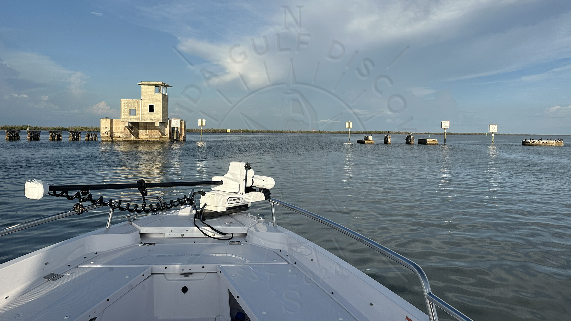
At first it didn’t make sense. The channel felt like a thin ribbon running through a giant water world of sandbars, grass flats, and open bays. I learned quickly to respect the markers—one step outside, and you were in ankle-deep water.
One day I met several older local boaters and fishermen, the kind of people who spent their whole lives on these waters. They smiled when I asked why the ICW felt so tight and unnatural in some places.
Their answer opened a window into the history of this coastline—an entire era of waterway construction, dredging, changes in geography, and a time before the modern Intracoastal Waterway even existed.
Before the ICW: A Wild and Shallow Coastline
Long before the channel between Venice and Placida was dredged, this coastline was a maze:
-
- Natural bays
- Shallow grass flats
- Mangrove islands
- Shifting tidal shoals
- Narrow cuts and passes that changed with storms
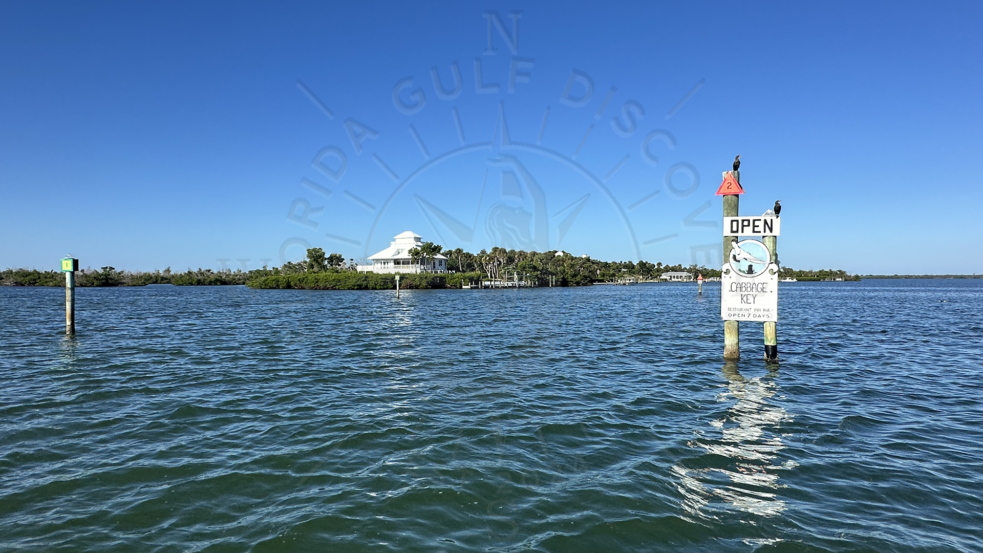
This was Old Florida—beautiful, unpredictable, and ruled by tides and wind. Locals navigated it using memory, landmarks, and trial-and-error. One fisherman told me that, before dredging, Lemon Bay was so shallow you could walk across parts of it at low tide.
For decades, different bays and sounds were separated by natural shallows. You couldn’t run straight through from Venice to Placida the way you can today.
The Dream of a Continuous Waterway
In the early 1900s, the idea of a protected inland route along the Gulf Coast began to grow. Boats needed a safe way to travel without going into the open Gulf, especially during winter storms. Coastal communities also needed a better way to move goods, fish, and supplies.

By the mid-20th century, the federal government finally committed to the project. In the 1960s, the U.S. Army Corps of Engineers began a major effort to connect the natural waterways into a single navigable channel.
The project was authorized under a series of federal laws, including the Rivers and Harbors Act of 1945 and subsequent amendments. These directed the U.S. Army Corps of Engineers (USACE) to build and maintain some 160 miles of waterway, including this stretch, to a navigable depth of 9 feet (plus some over-depth allowance) for safe navigation.
For our region, the transformation began around 1960.
1960s: The Digging of the Venice–Placida ICW Route
What we now see as a continuous water highway was once a patchwork of shallow wetlands. Construction teams dredged through parts of Lemon Bay, opened narrow connections, and carved a deeper channel linking:
-
- Venice
- Roberts Bay
- Lemon Bay
- Stump Pass
- Gasparilla Sound
- Placida Harbor
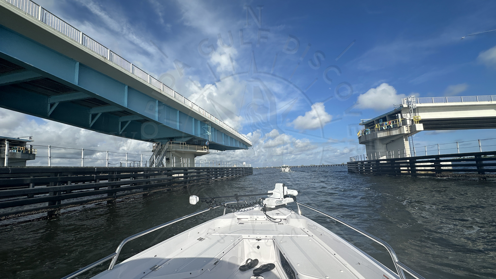
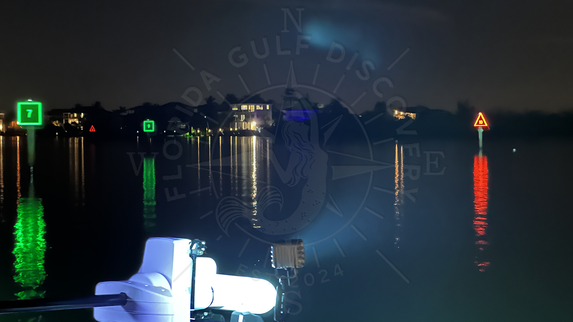
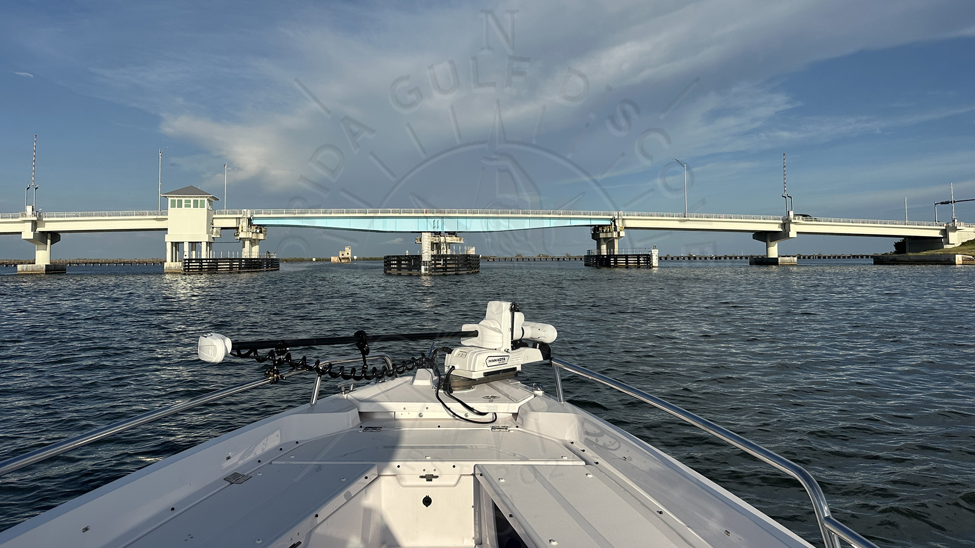
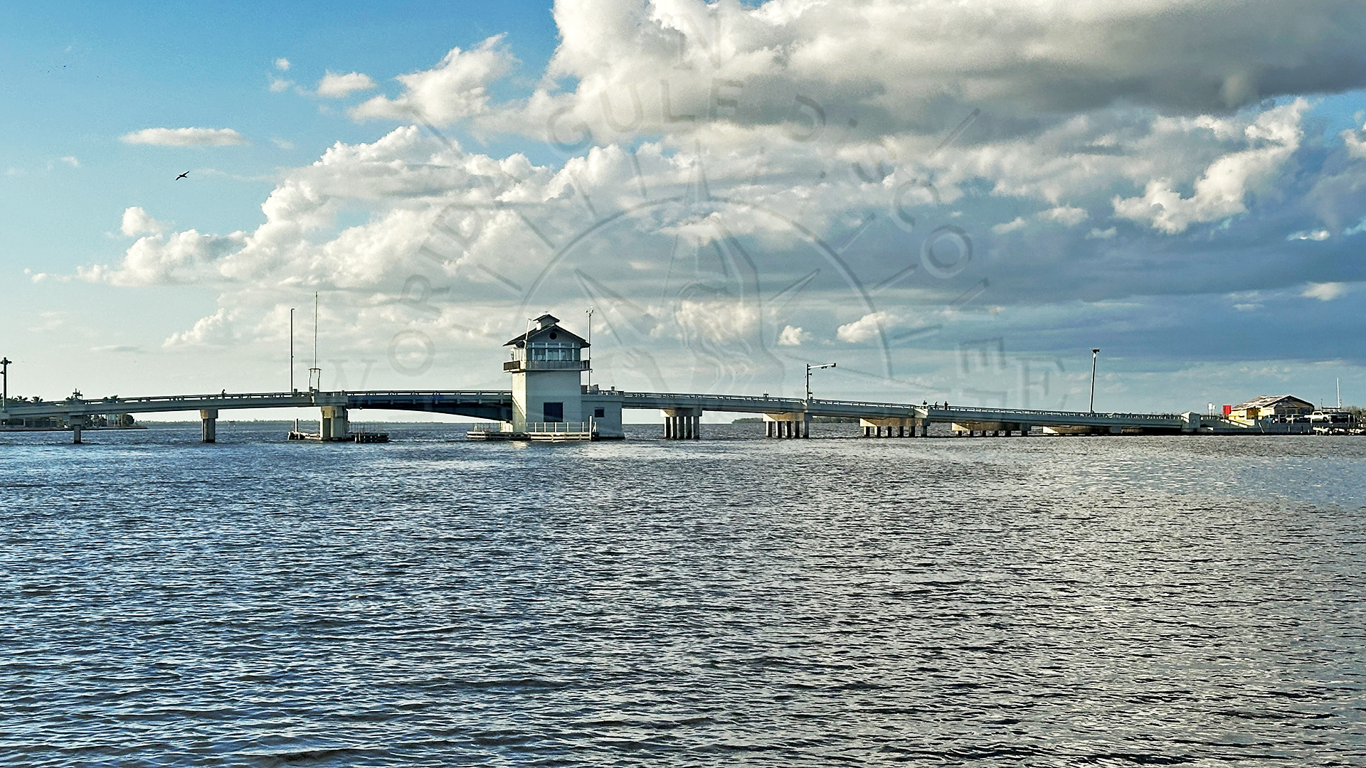
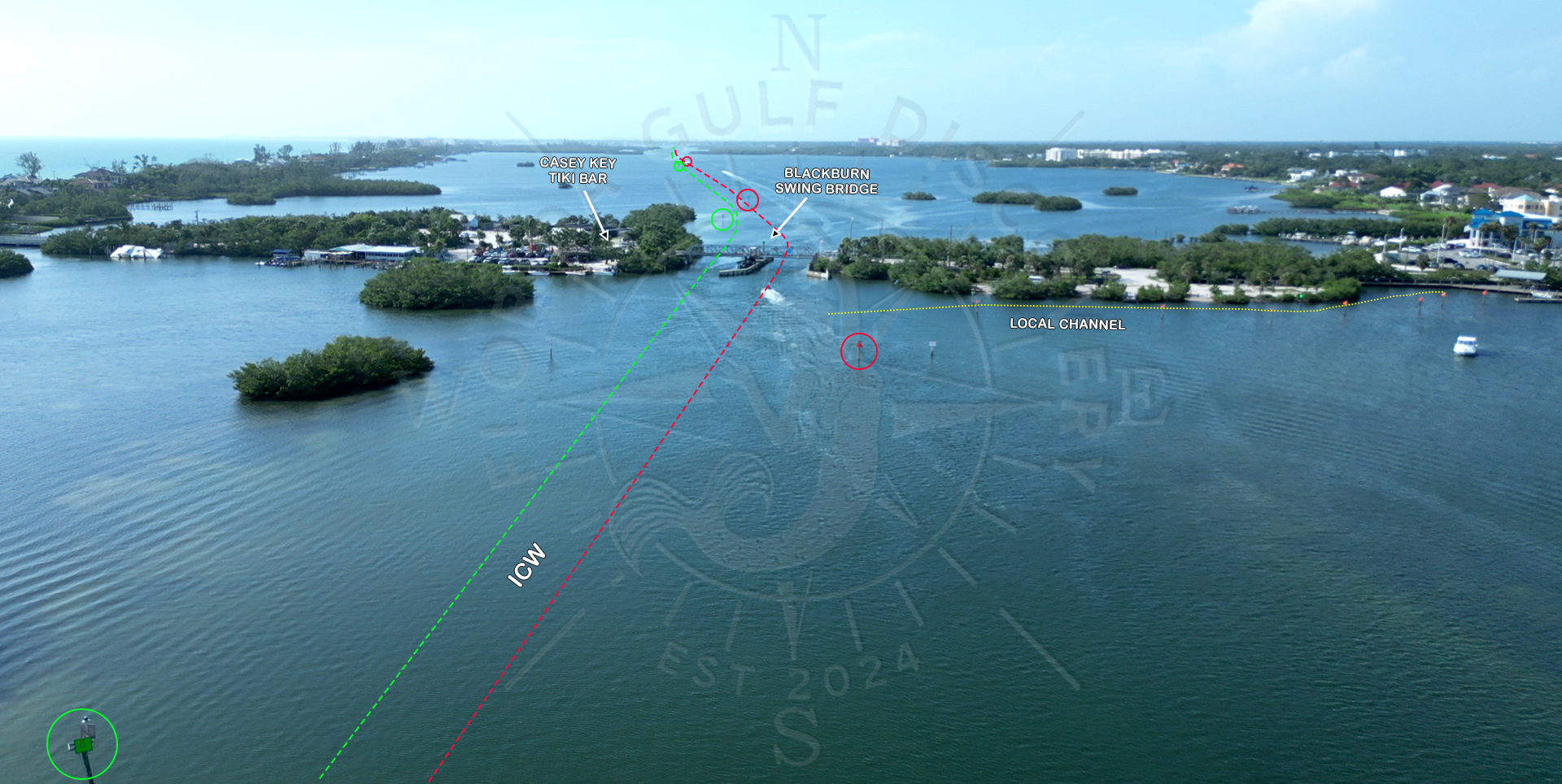
By 1965–1967, the inland route was finally connected. The ICW markers we know today were added to guide boaters safely through the new channel.
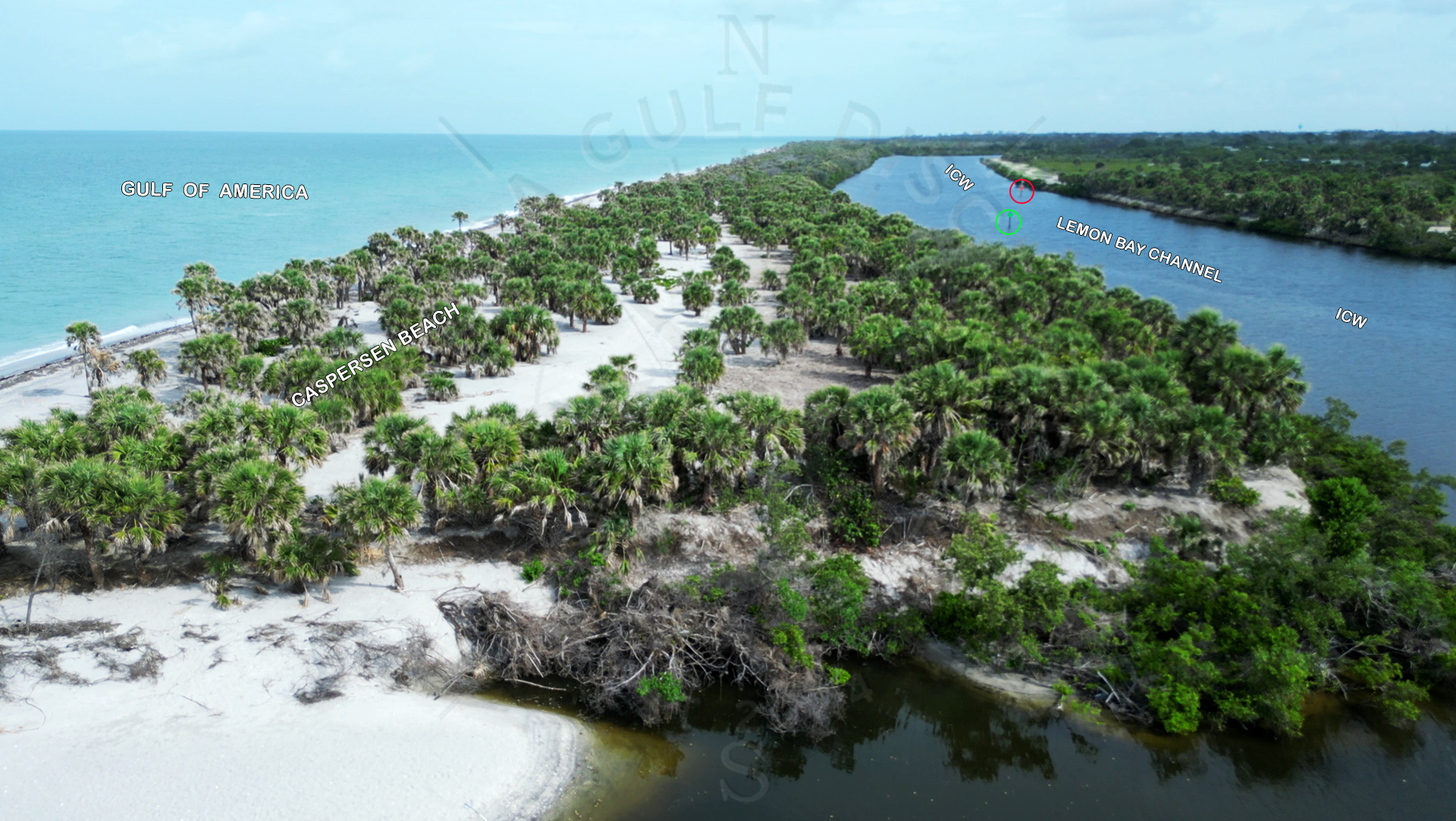
The natural bays remained wide and shallow, but the ICW became the “spine” of safe navigation. That’s why today the markers sit in narrow lines—even in huge open water—because the depth is man-made, not natural.
Why the Water Still Looks the Way It Does Today
Even though the ICW exists, the surrounding areas did not change much. The natural geography is still:
-
- broad shallow flats
- grass beds
- oyster bars
- mangrove shorelines
- shifting sand from storms and tidal flow
That’s why the ICW feels “tight”—the dredged channel cuts through a massive shallow estuary. One mistake outside the markers and you find the bottom fast.
Locals explained to me that some of the old natural channels disappeared after dredging changed water movement. Some new bars formed. A few small islands slowly eroded away. Storms like Donna and later Charley also reshaped the coast, reopening some places and closing others.
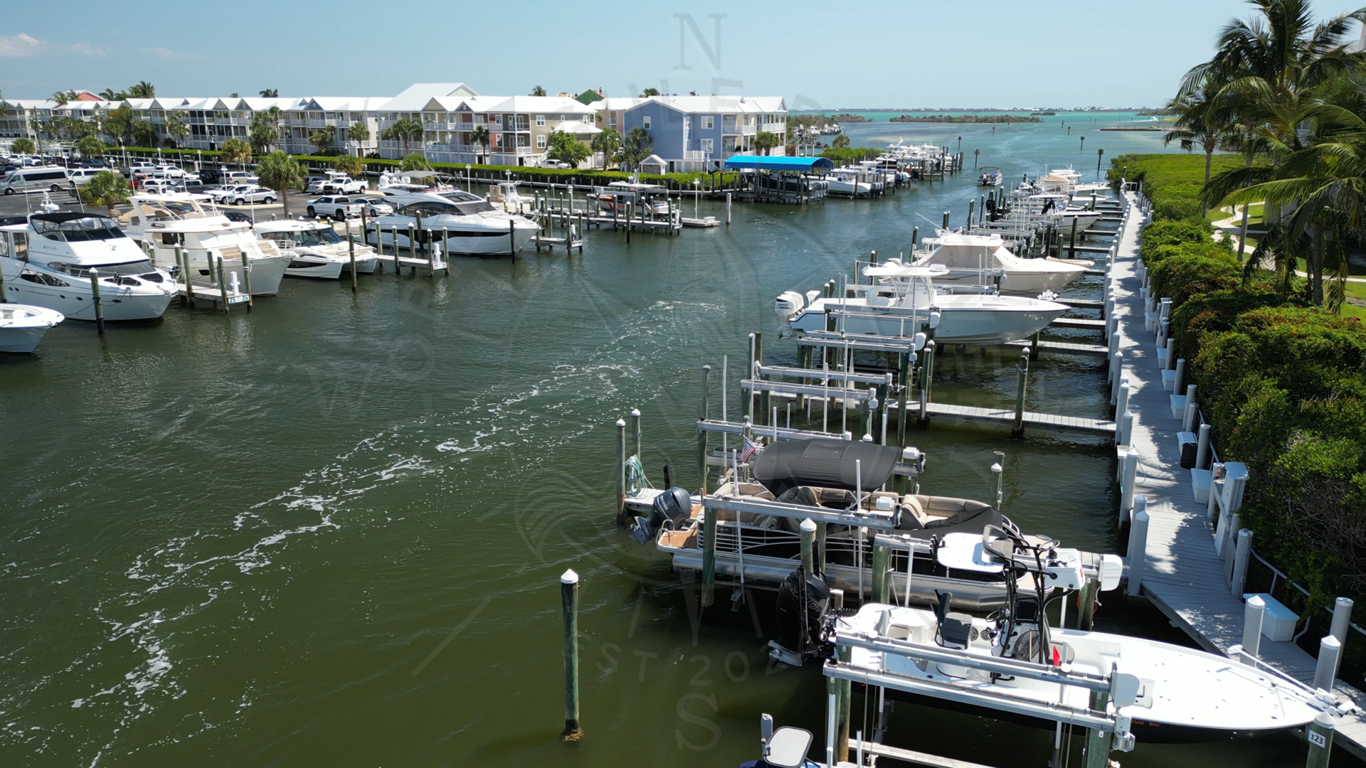
From Commercial Route to Recreational Paradise
Originally the ICW here was built for commercial boats and working fishermen. Today, it’s mostly used for:
-
- recreational boaters
- sailing
- fishing trips
- wildlife watching
- eco-tourism
- sunset cruises
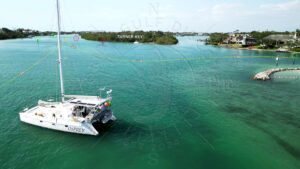
The “working waterway” became a playground and a scenic route for anyone who loves the water.
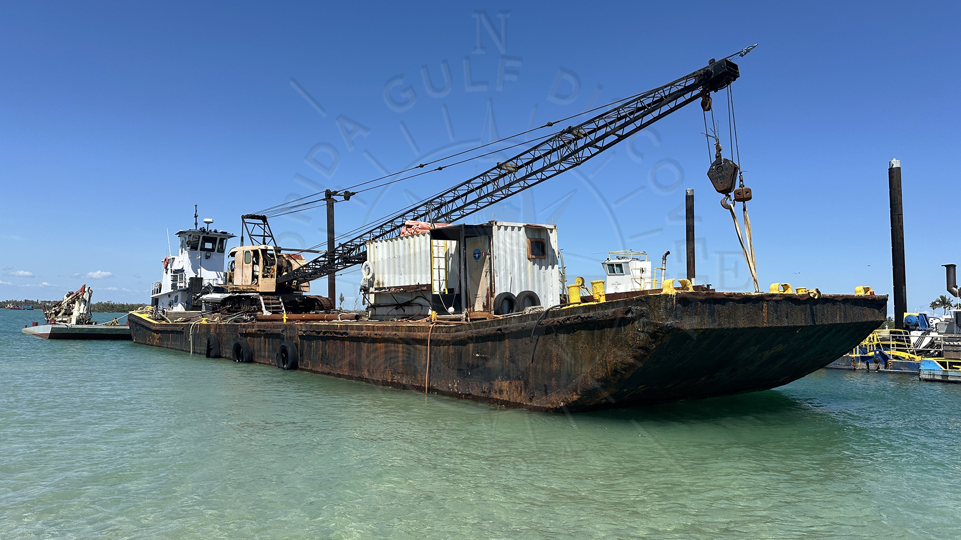
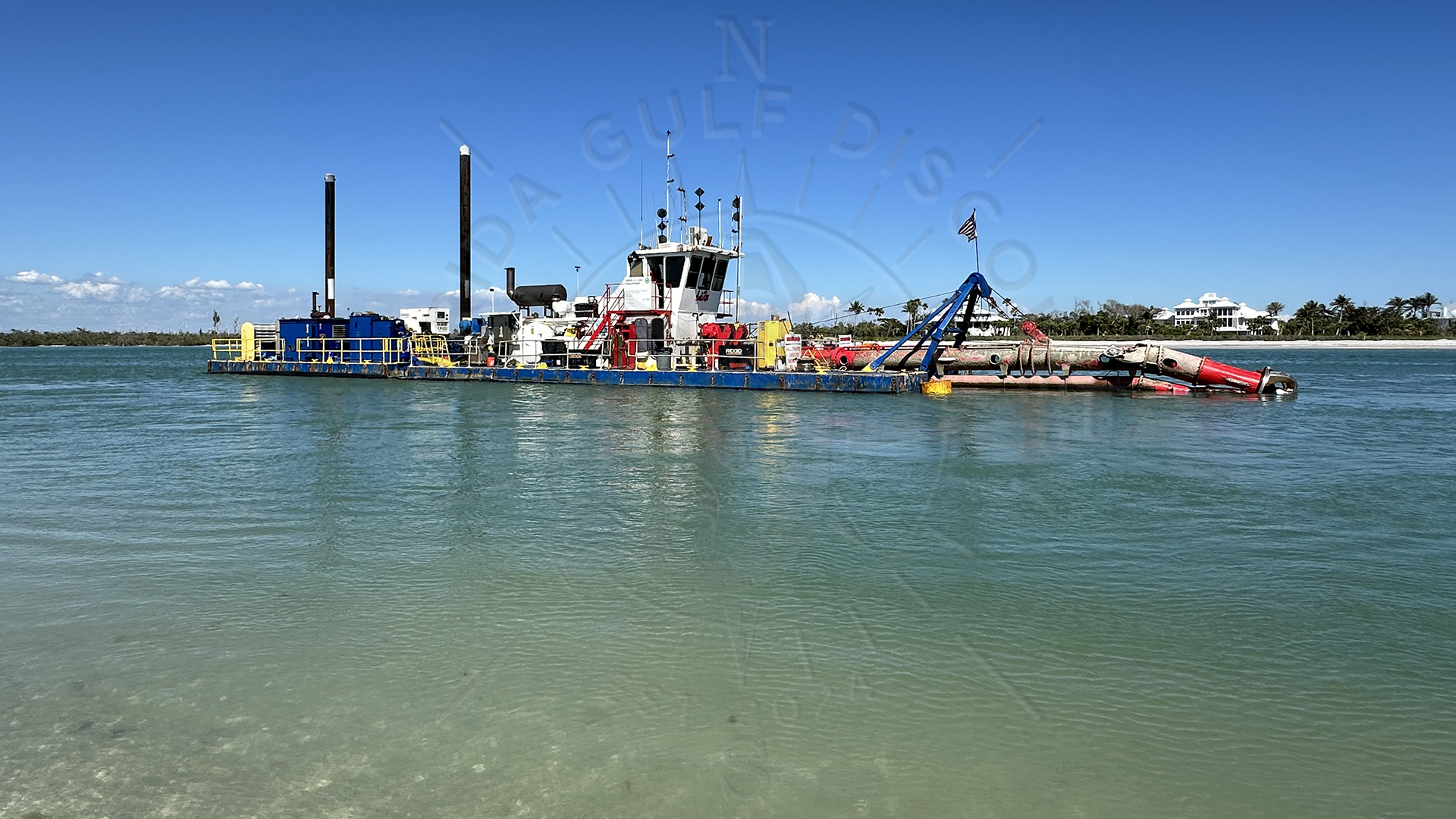
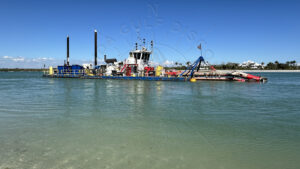
But the ICW still needs maintenance. Shoaling continues to creep in, especially near Venice and Stump Pass. Dredging projects—most recently in 2019—keep the waterway safe.
A Living Waterway with a Living Memory
Every time I take a boat from Venice down through Lemon Bay and into Gasparilla Sound, I remember the stories from the old captains. I picture how this place looked before the ICW—wild, unpredictable, and shaped only by nature.

The waterway we enjoy today is a combination of:
-
- natural Florida
- human engineering
- local knowledge
- and decades of change
For me, knowing this history makes the ride richer. When you follow that narrow line of ICW markers between miles of shallow water, you’re traveling through both nature and history at the same time.
Conclusion
Today, when you travel through the ICW between Venice and Placida, it’s easy to forget how difficult this coastline once was to navigate.

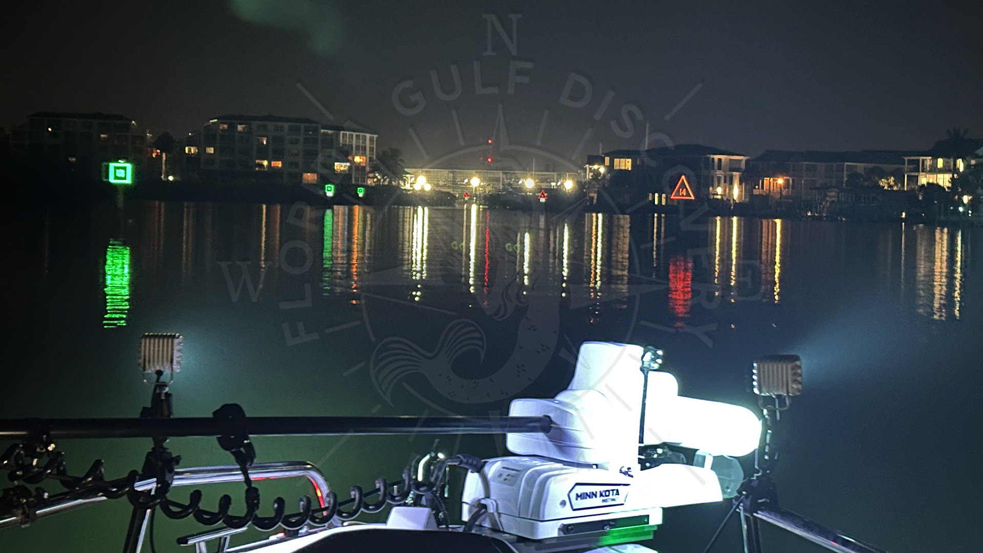
When I first started boating here, I realized how easy it is to get into trouble if you don’t know the area. The bays are wide and beautiful, but very shallow. The ICW changes everything. As long as you follow the markers, you’re safe—even if it’s your first time on these waters. And at night, those illuminated markers guide you through places you could never cross in the dark without them. The ICW truly makes exploring this coastline possible for everyone.
Written by Captain Pavel Florida Gulf Discovery – Private Boat Tours, Wildlife Watching & Coastal Adventures & Discovery www.FloridaGulfDiscovery.com