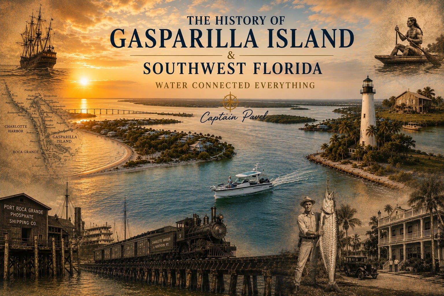
The History of Gasparilla Island & Southwest Florida
To understand Southwest Florida today, you must first understand the water. Every major chapter in this region’s history—from the Calusa to commercial fishing, from the railroad to modern tourism—began with its waterways.
Captain Pavel’s Note
This article combines documented historical research with my firsthand experience exploring the waters of Gasparilla Island and Southwest Florida as a licensed U.S. Coast Guard captain. My goal is to help visitors understand not only what happened here, but why this remarkable region developed as it did.
Introduction
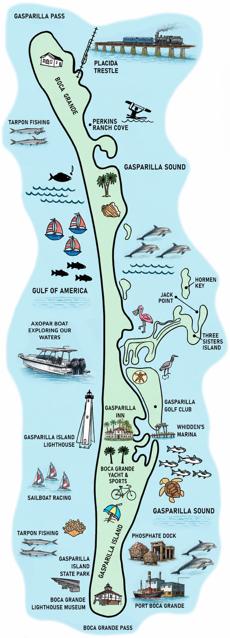 Every place has a story.
Some are written by kings, wars, or great cities.
The story of Gasparilla Island and Southwest Florida was written by water.
Long before roads, bridges, railroads, and modern communities existed, the Gulf of Mexico, Charlotte Harbor, Gasparilla Sound, and Boca Grande Pass created one of North America’s richest coastal environments. These waters determined where people settled, how they traveled, where businesses developed, and why this once-remote coastline eventually became one of Florida’s most remarkable regions.
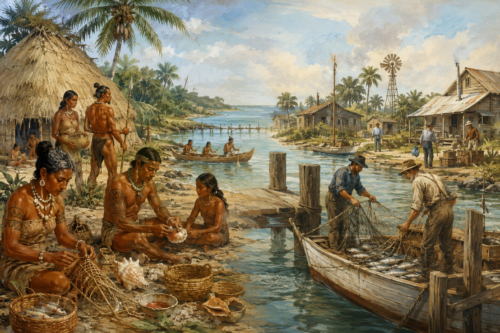
Thousands of years ago, the Calusa built one of North America’s greatest maritime civilizations here because these waters provided food, transportation, and trade.
Centuries later, Spanish explorers entered the same protected harbors while charting Florida’s Gulf Coast.
Pioneer settlers established fishing communities where boats could reach them long before roads connected the region.
Commercial fishermen built the first successful coastal economy, harvesting the rich fisheries of Charlotte Harbor and the surrounding estuaries.
The arrival of the Charlotte Harbor & Northern Railway transformed Boca Grande into one of the world’s leading phosphate export ports, connecting Central Florida’s phosphate mines with international markets.
At nearly the same time, Boca Grande Pass became internationally famous for its extraordinary tarpon fishing, attracting wealthy visitors who helped establish hotels, fishing guides, and a growing tourism industry.
Today, millions of visitors come to Southwest Florida for many of the same reasons people have always been drawn here: protected waterways, extraordinary wildlife, world-class fishing, beautiful beaches, and a unique maritime heritage.
Although every generation found a different opportunity, one thing never changed.
About This Guide
The history of Gasparilla Island and Southwest Florida is a story shaped by geography, water, and the people who adapted to both. This guide brings together historical research, archaeological discoveries, published records, and the firsthand observations of Captain Pavel, who explores these waterways daily aboard Florida Gulf Discovery.
Rather than presenting only dates and events, this article explains
why
Southwest Florida developed as it did—from the rise of the Calusa civilization and pioneer fishing communities to the arrival of the railroad, the phosphate industry, world-famous tarpon fishing, and today’s thriving coastal tourism.
Although every effort has been made to ensure historical accuracy, ongoing archaeological research and historical discoveries continue to expand our understanding of the region’s past. This guide will be updated periodically as new information becomes available.
Whether you are planning a visit, exploring by boat, researching local history, or simply curious about Florida’s Gulf Coast, we hope this guide helps you better understand the remarkable waters that have connected people, communities, and industries for thousands of years.
Historical Timeline
Period |
Why It Mattered |
|---|---|
More than 3,000 years ago |
The Calusa Civilization — The Calusa established one of North America’s greatest maritime civilizations, using Charlotte Harbor and Gasparilla Sound for fishing, transportation, trade, and settlement. |
1513–1700s |
Spanish Exploration — European explorers mapped Florida’s Gulf Coast and introduced the region to the Western world while traveling the same waterways used by the Calusa. |
1800–1880 |
Pioneer Southwest Florida — Small fishing and ranching communities developed along protected waterways where boats served as the primary means of transportation. |
Late 1800s |
Commercial Fishing — Fishing villages, fish houses, docks, and ice plants became the region’s first major coastal economy. |
1880s–1930s |
The Tarpon Fishing Era — Boca Grande Pass became internationally famous, attracting anglers, fishing guides, hotels, and seasonal visitors from around the world. |
1907 |
The Railroad Arrives — The Charlotte Harbor & Northern Railway connected Central Florida’s phosphate mines with deep-water Port Boca Grande, transforming the regional economy. |
1907–Late 1900s |
The Phosphate Era — Millions of tons of phosphate were exported through Port Boca Grande, making it one of the world’s leading phosphate shipping terminals. |
Mid-1900s |
Roads & Bridges — Modern transportation connected Southwest Florida to the rest of the state, encouraging rapid growth and residential development. |
Late 1900s–Today |
Conservation & Tourism — Protected lands, recreational boating, wildlife, fishing, and eco-tourism became the new foundation of Southwest Florida’s economy. |
Every Chapter Begins With One Question
Rather than simply presenting historical dates, this article explores
why
each chapter of Southwest Florida’s history unfolded.
- Why did the Calusa settle here?
- Why did pioneer communities grow beside the water?
- Why did commercial fishing flourish?
- Why was the railroad built to Boca Grande?
- Why did phosphate exports change the region?
- Why did Boca Grande become world-famous for tarpon fishing?
- Why do millions of visitors continue to explore these waters today?
The answer to each question begins with the same remarkable fact:
Water Connected Everything.
How Geography, Native Americans, Fishing, Railroads, Phosphate, and Tourism Shaped Florida’s Gulf Coast
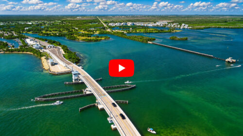
Today’s visitors know Gasparilla Island for its beautiful beaches, historic lighthouse, world-famous tarpon fishing, quiet villages, and the protected waters of Gasparilla Sound. Yet the story of this remarkable corner of Florida began thousands of years before the first tourists arrived.
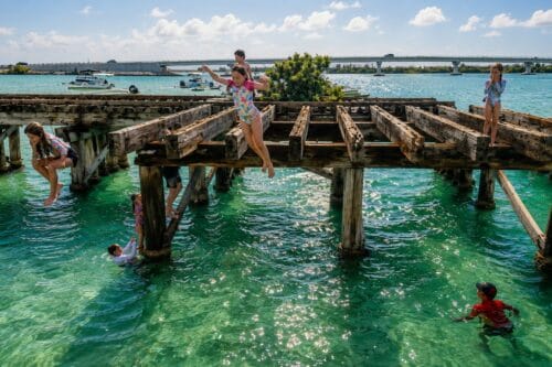
Long before bridges, highways, marinas, and waterfront homes, the natural landscape determined where people could live, travel, fish, and trade. The sheltered waters of Charlotte Harbor, the deep channel of Boca Grande Pass, the barrier islands along the Gulf of Mexico, and the rich estuaries of Gasparilla Sound created one of the most productive coastal environments in North America.
The Calusa people were the first to recognize these natural advantages, building one of the most sophisticated maritime civilizations in the southeastern United States. Centuries later, Spanish explorers charted these waters, followed by pioneer settlers, commercial fishermen, cattle ranchers, railroad builders, and phosphate companies. Each generation left its mark on the region.
The arrival of the Charlotte Harbor & Northern Railway in the early twentieth century transformed Boca Grande into one of the world’s leading phosphate export ports, connecting Central Florida’s phosphate mines with international shipping routes. At the same time, the extraordinary tarpon fishery attracted anglers from around the world, leading to the construction of hotels, fishing lodges, guides’ businesses, and waterfront communities.
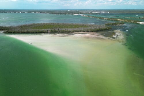
As industry gradually declined, conservation, recreational boating, and tourism became the region’s new economic foundation. Today, visitors experience many of the same waterways that supported the Calusa, carried pioneer fishing boats, served railroad ferries, welcomed ocean-going phosphate ships, and continue to attract boaters, anglers, photographers, and nature enthusiasts from around the world.
This article explores the events, industries, and people that shaped Gasparilla Island and Southwest Florida, explaining not only what happened, but why this region developed into one of Florida’s most distinctive coastal destinations.
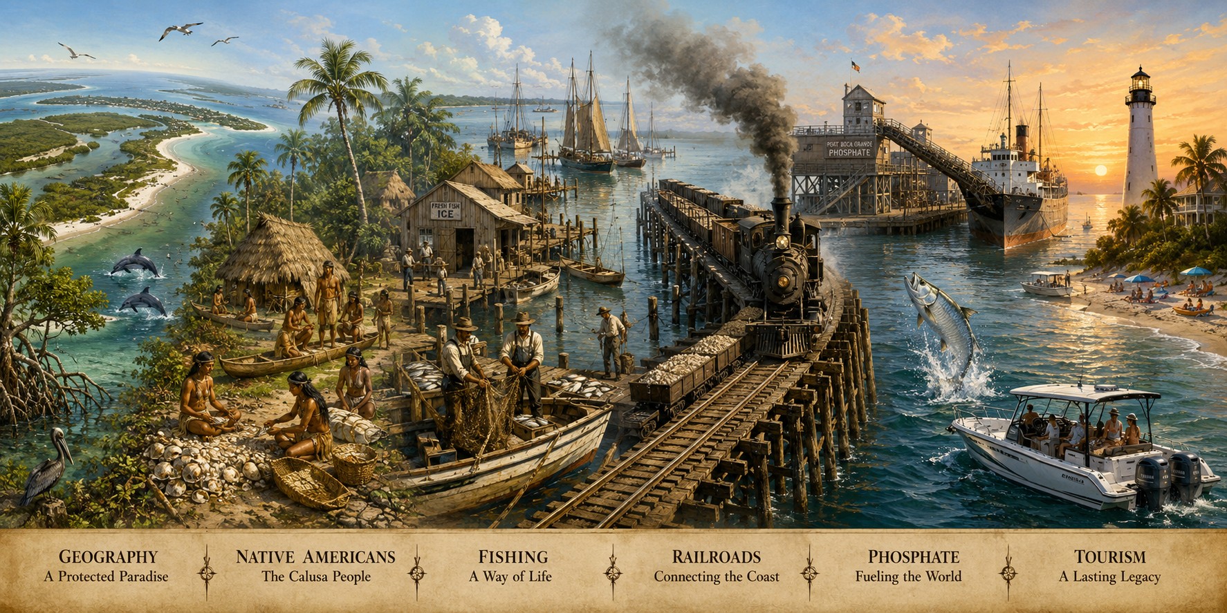
Chapter 1 — Nature Built the Foundation
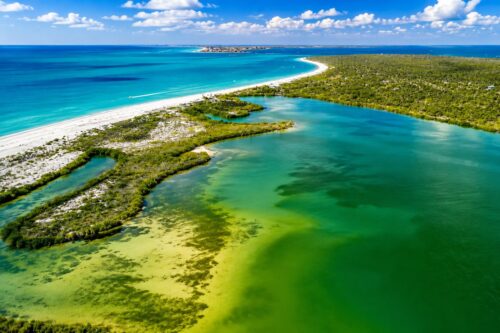
Long before the first people settled along Florida’s Gulf Coast, powerful natural forces were shaping the landscape that would eventually become Southwest Florida. Over thousands of years, changing sea levels, coastal currents, rivers, and storms created one of the most remarkable coastal environments in North America.
Unlike much of Florida’s Gulf Coast, this region developed around a unique combination of protected waterways and open access to the Gulf of Mexico. Charlotte Harbor formed as one of the state’s largest natural estuaries, where freshwater flowing from the Peace, Myakka, and Caloosahatchee rivers mixed with the saltwater of the Gulf. These nutrient-rich waters became exceptionally productive, supporting vast seagrass meadows, oyster reefs, mangrove forests, and abundant marine life.
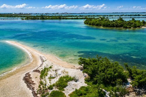
Running south from Charlotte Harbor, Gasparilla Sound created a protected inland waterway sheltered by a chain of barrier islands. These islands—including Gasparilla Island, Little Gasparilla Island, Cayo Costa, North Captiva Island, Captiva Island, and Sanibel Island—absorbed the energy of Gulf waves and storms, leaving calmer waters behind them. For thousands of years, these protected waters served as natural travel routes for wildlife, Native Americans, fishermen, and eventually modern boaters.
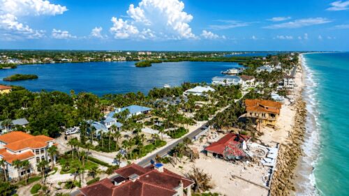
At the southern end of Gasparilla Island, Boca Grande Pass formed one of the deepest natural inlets on Florida’s Gulf Coast. Unlike many shallow passes that constantly shifted with storms and tides, Boca Grande Pass remained deep enough for large vessels. This single geographic feature would later determine the location of Port Boca Grande, allowing ocean-going ships to load phosphate and sail directly to ports around the world.
The surrounding estuaries also became some of Florida’s richest fishing grounds. Mangrove shorelines provided nursery habitat for countless species of fish, while shallow grass flats supported shrimp, crabs, shellfish, and baitfish. Dolphins, manatees, sea turtles, ospreys, pelicans, and hundreds of other species thrived in these productive waters long before permanent settlements were established.
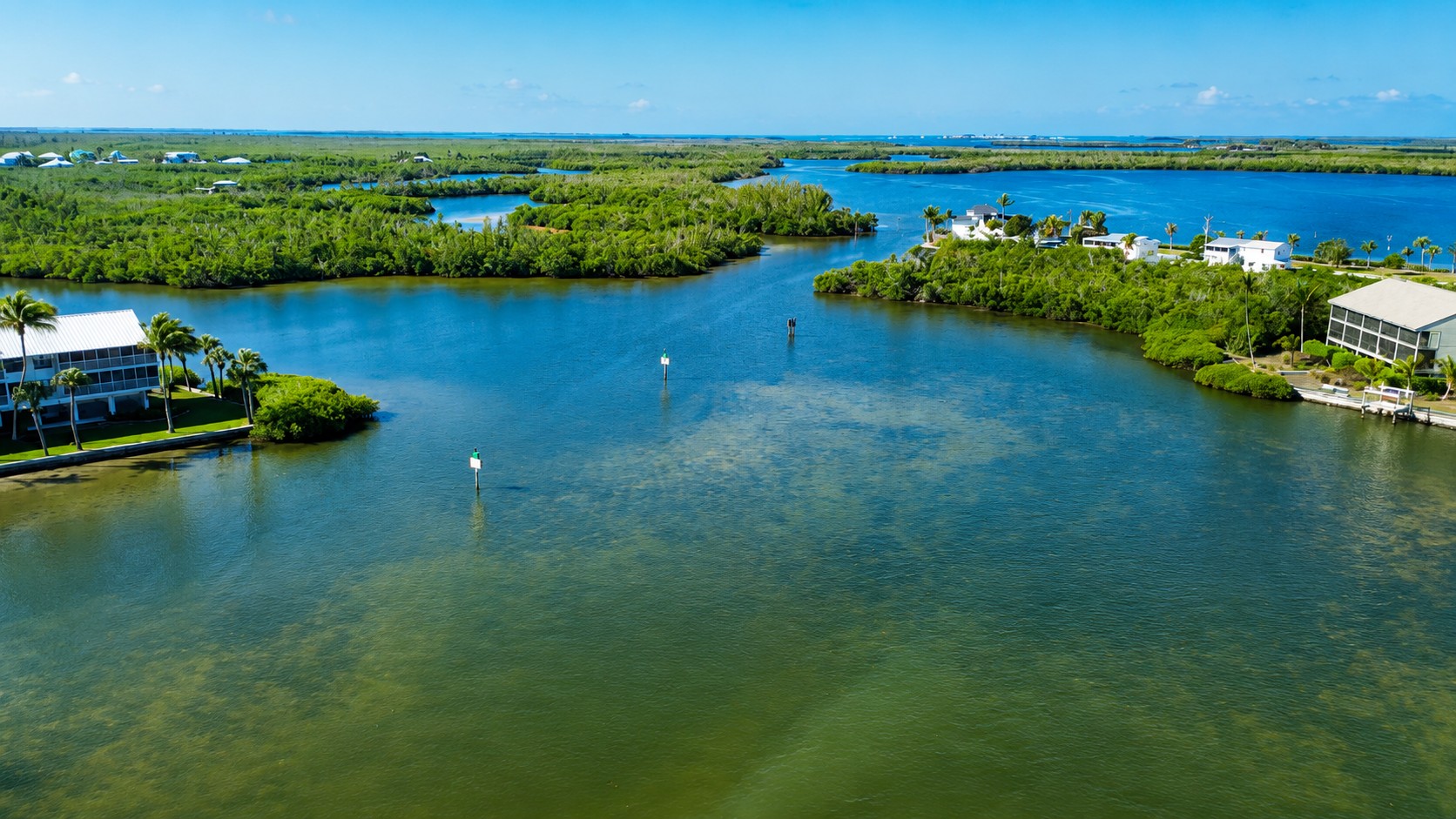
Nature also provided safe anchorages, fresh water from nearby rivers, fertile fishing grounds, and relatively protected navigation throughout the year. These advantages attracted the region’s earliest inhabitants and continued to influence every stage of Southwest Florida’s development.
The geography of Southwest Florida determined far more than its scenery. It influenced where people settled, how they traveled, where businesses were built, how industries developed, and why Gasparilla Island became one of the most important locations on Florida’s Gulf Coast.
Every chapter that follows begins with this simple truth:
Nature created the opportunity. People built upon it.
Chapter 2 — The Calusa: Masters of the Waterways
Why did the Calusa choose Southwest Florida?
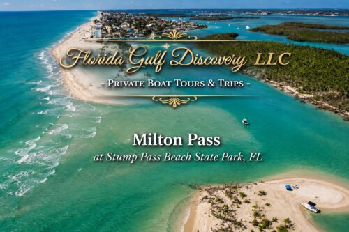
Thousands of years before European explorers reached Florida, the Calusa had already recognized something extraordinary about the waters surrounding present-day Gasparilla Island and Charlotte Harbor.
They did not build their civilization here by accident.
They chose this region because nature provided nearly everything they needed to thrive.
The protected waters of Gasparilla Sound and Charlotte Harbor allowed safe travel by canoe throughout much of the year. Instead of relying on roads or trails, the Calusa created an extensive network of waterways connecting villages, fishing grounds, shell mounds, and trading partners across Southwest Florida.
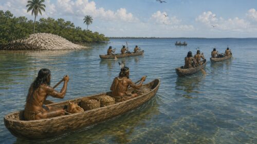
The surrounding estuaries were among the richest fisheries in North America. Schools of mullet, snook, redfish, tarpon, sharks, rays, shellfish, and countless other marine species provided a dependable food supply throughout the year. Mangrove forests protected juvenile fish while oyster reefs and tidal flats supported an incredibly diverse ecosystem.
Unlike many Native American cultures that depended primarily on agriculture, the Calusa built one of North America’s greatest maritime civilizations. Fishing, shell fishing, and navigation formed the foundation of their economy and daily life. They crafted sophisticated fishing nets, wooden canoes, shell tools, and engineered fish traps that took advantage of the tides and natural movement of marine life.
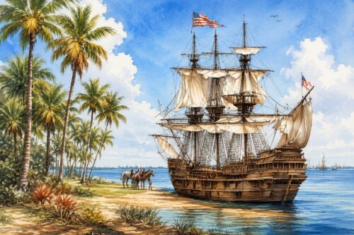
The Calusa also became skilled navigators. Their dugout canoes traveled throughout Charlotte Harbor, Gasparilla Sound, Pine Island Sound, Estero Bay, and beyond, establishing trade routes with neighboring communities. The waterways that today’s boaters enjoy were already functioning as transportation corridors more than a thousand years ago.
Archaeological discoveries throughout the region—including shell mounds, canals, and village sites—demonstrate the remarkable engineering skills of the Calusa. Massive shell works, some built over many centuries, reshaped the landscape and remain visible today. These sites stand among the most significant archaeological features in Florida.
The arrival of Spanish explorers during the early sixteenth century dramatically altered Calusa society. Disease, conflict, and changing political conditions gradually reduced their population, and by the eighteenth century the Calusa civilization had largely disappeared.
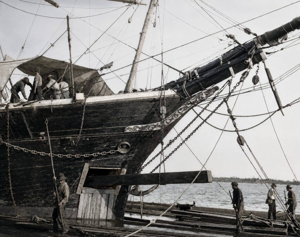
Yet their understanding of Southwest Florida’s geography proved remarkably accurate.
The same protected waterways, productive fisheries, and strategic coastal routes that supported the Calusa would later attract pioneer settlers, commercial fishermen, railroad builders, phosphate exporters, and eventually millions of visitors.
The first people to understand the value of Gasparilla Island and Southwest Florida were also the first to demonstrate a lesson that remains true today:
Those who understood the water understood the region.
Chapter 3 — The Gulf of Mexico: Southwest Florida’s First Highway
How did people travel before roads and bridges?
Today, visitors reach Gasparilla Island by crossing the Boca Grande Causeway. Modern highways connect communities throughout Southwest Florida, making travel fast and convenient.
For thousands of years, however, there were no bridges, highways, or railroads.
The water was the highway.
Long before paved roads existed, the Gulf of Mexico, Charlotte Harbor, Gasparilla Sound, and Pine Island Sound formed an extensive transportation network. These sheltered waterways allowed people to travel, trade, fish, and communicate throughout the region.
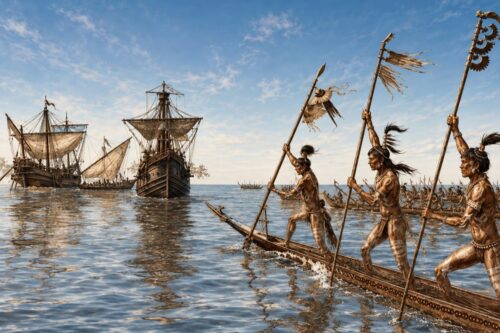
The Calusa were the first to master this natural highway. Their dugout canoes carried people and goods between villages, fishing grounds, and neighboring communities. Protected by barrier islands, the inland waters provided safer travel than the open Gulf while still allowing access to the sea when conditions permitted.
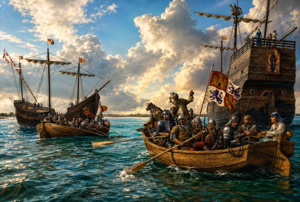
Centuries later, Spanish explorers followed many of these same coastal routes while mapping Florida’s Gulf Coast. Small sailing vessels entered Charlotte Harbor through Boca Grande Pass, anchoring in protected waters before continuing their journeys.
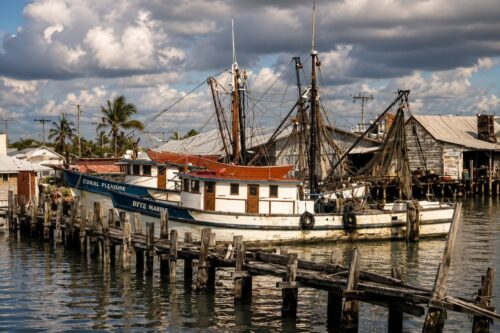
During the nineteenth century, pioneer families, fishermen, ranchers, and merchants also depended on the waterways. Boats delivered supplies, livestock, building materials, mail, and passengers to isolated coastal settlements that had no road connections. Fishing boats carried their daily catch to markets, while small cargo vessels supplied growing communities scattered throughout the harbor.
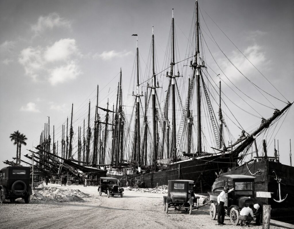
Even after the arrival of the railroad, water transportation remained essential. Ferries connected islands with the mainland, tugboats guided larger vessels, and ocean-going ships loaded phosphate at Port Boca Grande before departing for destinations around the world.
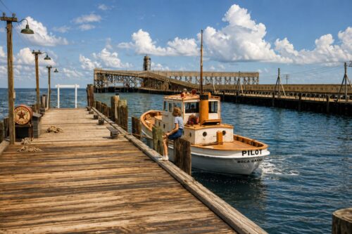
For generations, nearly every aspect of life in Southwest Florida depended on boats. They were the region’s school buses, delivery trucks, ambulances, freight trains, and family automobiles. Life moved with the tides, weather, and changing seasons.
Although today’s visitors travel very differently, the waterways themselves have changed remarkably little. Modern boaters often follow routes that Native Americans, pioneer fishermen, commercial captains, and phosphate ships once navigated.
The vessels may have changed, but the water remains the same.
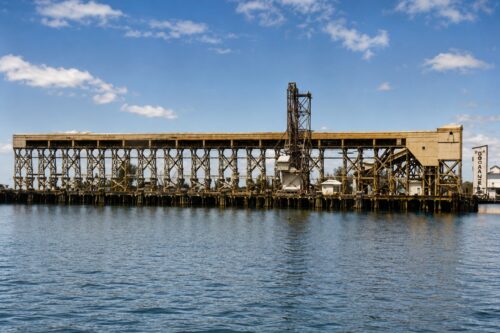
Even today, Southwest Florida is best understood from the water. The quiet channels of Gasparilla Sound, the broad expanse of Charlotte Harbor, and the deep entrance of Boca Grande Pass continue to connect the people, communities, and history of this remarkable region.
The Gulf of Mexico was not simply a body of water beside Southwest Florida.
It was the first transportation system that made every chapter of the region’s history possible.
Chapter 4 — Pioneer Settlers: Building Communities Along the Water
Why did the first permanent communities develop here?
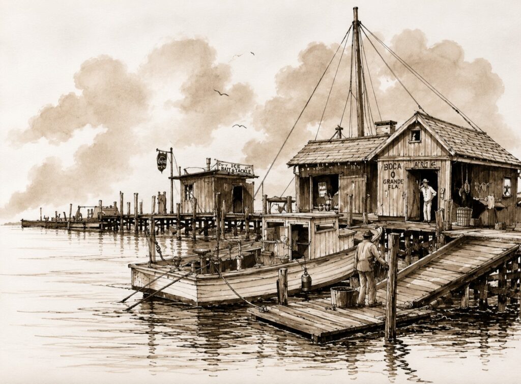
When the Calusa civilization disappeared during the eighteenth century, much of Southwest Florida became sparsely populated once again. For many decades, the coastline remained a remote wilderness of mangrove forests, tidal creeks, barrier islands, and vast open estuaries.
Yet the natural advantages that had attracted the Calusa never disappeared.
During the nineteenth century, a new generation of settlers slowly arrived. Unlike the large cities developing elsewhere in Florida, Southwest Florida grew gradually through small coastal communities connected almost entirely by water.
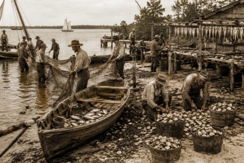
The first pioneers recognized that the region offered valuable natural resources. The sheltered waters of Charlotte Harbor and Gasparilla Sound provided abundant fish and shellfish. Nearby grasslands supported cattle ranching, while the surrounding forests supplied timber for homes, docks, and boats.
Transportation remained the greatest challenge.
Without roads or bridges, nearly every family depended on boats. Supplies arrived by schooner, sailboat, or small steam-powered vessels. Mail, food, livestock, building materials, and passengers all traveled across the water. Communities that had reliable waterfront access slowly prospered, while inland areas remained difficult to reach.
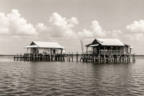
Small settlements gradually appeared throughout the region.
Punta Gorda developed as an important commercial center along Charlotte Harbor. Placida became a small mainland settlement overlooking Gasparilla Sound. Boca Grande remained a quiet barrier island community, while Pine Island, Useppa Island, and nearby islands supported fishermen, farmers, and trading families.
These communities shared one important characteristic.
They all faced the water.
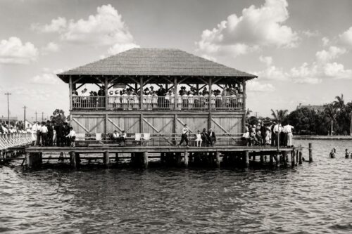
Their docks often served as the center of daily life. Fishing boats departed before sunrise. Supply vessels unloaded cargo. Mail boats connected isolated families. Neighbors visited each other by boat more often than by horseback or wagon.
The water determined where homes were built, where businesses opened, and how communities grew.
Although these settlements remained small, they established the foundation for everything that followed. Schools, churches, general stores, fish houses, and local businesses slowly appeared, creating stable communities along the shoreline.
By the late nineteenth century, Southwest Florida was no longer an isolated wilderness.
It had become a working coastal region built around fishing, ranching, trade, and transportation.
The stage was now set for the greatest transformation in the region’s history—the arrival of the railroad.
Chapter 5 — Commercial Fishing: The First Coastal Economy
Why did fishing villages flourish along Southwest Florida’s coast?
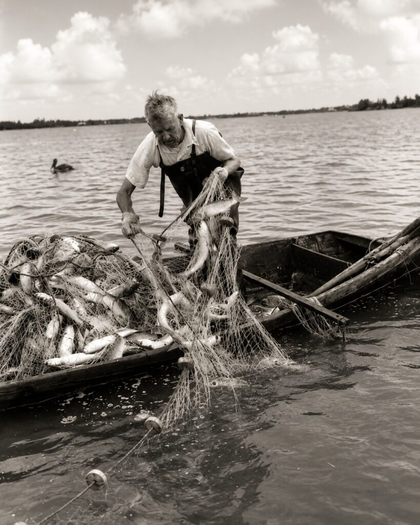
Long before tourists arrived and decades before phosphate trains reached Boca Grande, the waters of Southwest Florida supported a thriving commercial fishing industry.
The answer was simple.
The region’s estuaries produced fish in extraordinary abundance.
Charlotte Harbor, Gasparilla Sound, Pine Island Sound, and the surrounding tidal creeks formed one of the most productive fisheries in the Gulf of Mexico. Freshwater flowing from inland rivers mixed with Gulf saltwater to create ideal nursery habitats for countless marine species. Mullet, snook, redfish, trout, tarpon, shrimp, crabs, oysters, and many other species thrived in these rich coastal waters.
For pioneer families, fishing was more than a way of life—it was an industry.
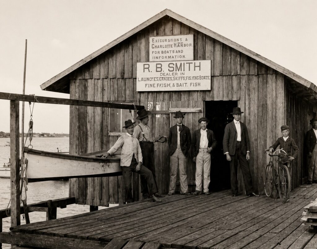
Commercial fishermen worked the waters year-round, supplying fresh and salted fish to markets throughout Florida and beyond. Mullet became one of the region’s most valuable commercial species. During the seasonal mullet runs, fishing fleets harvested enormous catches that supported local families and businesses.
As the fishing industry expanded, permanent waterfront communities began to grow.
Fish houses were built to clean and process the daily catch. Ice plants allowed seafood to be preserved and transported to distant markets. Docks became busy centers where fishermen unloaded their boats, repaired nets, purchased supplies, and exchanged news. Boat builders, mechanics, merchants, and shipping companies all benefited from the growing industry.
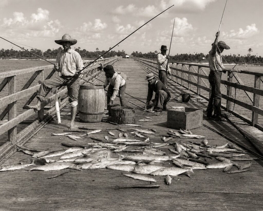
Communities such as Placida, Boca Grande, Pine Island, Cabbage Key, and nearby coastal settlements developed strong ties to commercial fishing. Although each community had its own character, they shared the same dependence on the surrounding waters.
Fishing also shaped daily life.
Families planned their work around tides, weather, and seasonal
migrations of fish. Knowledge of the water was passed from one generation to the next. Successful fishermen understood every pass, creek, sandbar, oyster bar, and channel long before accurate nautical charts existed.
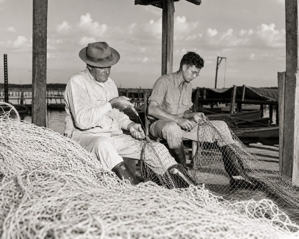
Commercial fishing did more than provide food and income.
It established stable waterfront communities, encouraged the construction of docks and marine businesses, and strengthened the region’s economy decades before large-scale tourism developed.
When the railroad finally arrived in the early twentieth century, it entered a region that was already connected by water and supported by hardworking fishing communities.
The commercial fishing industry laid much of the economic and maritime foundation upon which the next great chapter of Southwest Florida’s history would be built.
That next chapter would transform the region forever.
The railroad was coming.
Chapter 6 — The Railroad That Changed Southwest Florida
Why Was a Railroad Built to a Small Barrier Island?
At the beginning of the twentieth century, Boca Grande was a quiet barrier island surrounded by productive fishing grounds, sheltered waters, and miles of undeveloped coastline. Few people could have imagined that this peaceful community would soon become one of the world’s leading phosphate export ports.
The story began far from the island.
Deep beneath Central Florida lay some of the richest phosphate deposits ever discovered. Formed millions of years ago beneath ancient seas, these deposits contained phosphorus, one of the essential nutrients used in agricultural fertilizer. As farming expanded across the United States and around the world during the late nineteenth century, demand for phosphate increased dramatically.
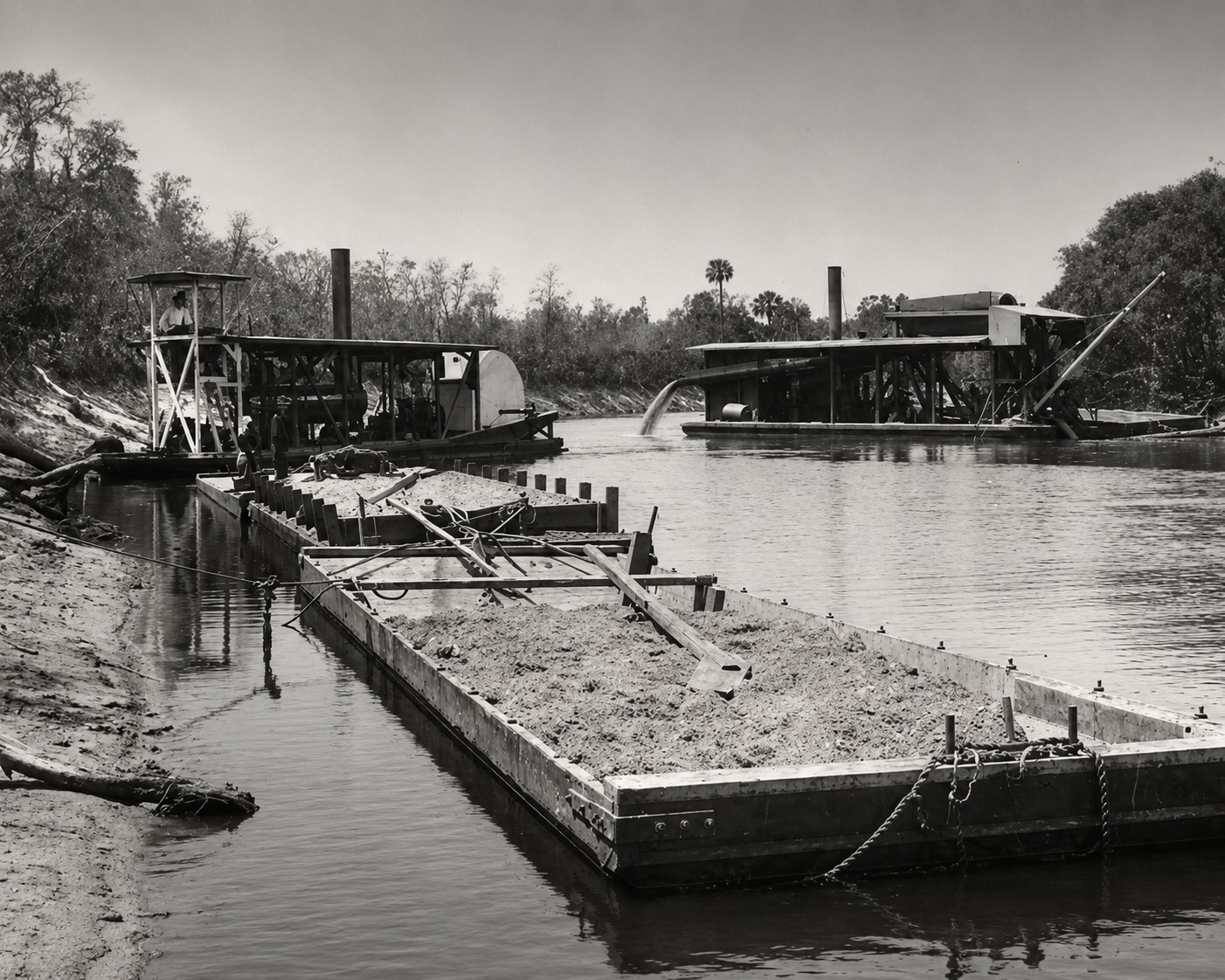
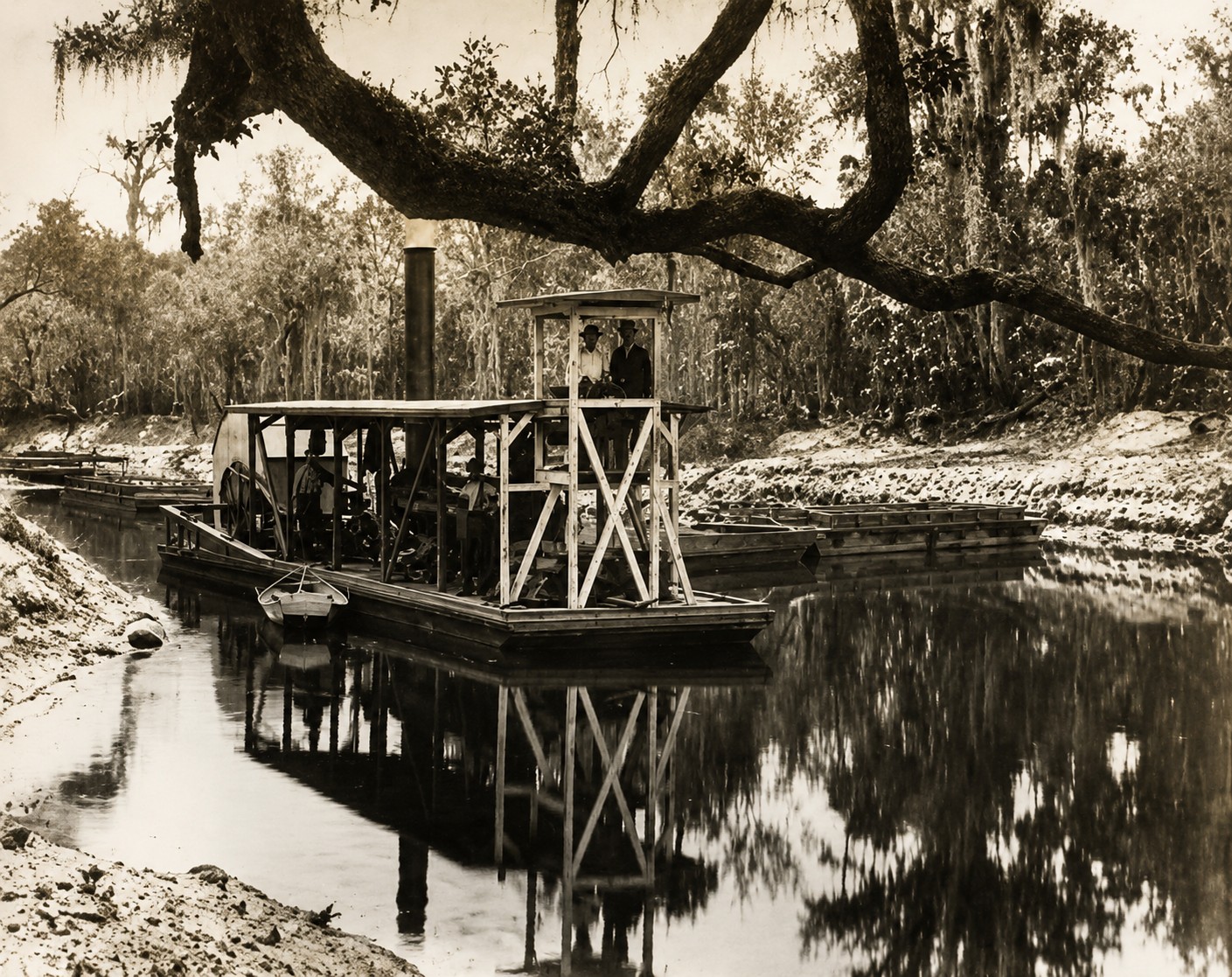
In 1881, rich phosphate deposits were discovered along the lower Peace River near Arcadia. Mining expanded rapidly, but transporting millions of tons of heavy phosphate rock from inland mines to ocean-going ships presented a major challenge.
Initially, the rock was loaded onto steam-powered barges that were pulled down the Peace River by small tugboats to Charlotte Harbor. While this system worked during the industry’s early years, it was slow, expensive, and unable to keep pace with the growing international demand for Florida phosphate.
The solution lay on Florida’s Gulf Coast.
Engineers recognized that Boca Grande Pass offered one of the deepest natural entrances to the Gulf of Mexico on Florida’s west coast. Large cargo vessels could safely enter Charlotte Harbor, load directly at deep-water docks, and sail to markets throughout North America, Europe, South America, and beyond.
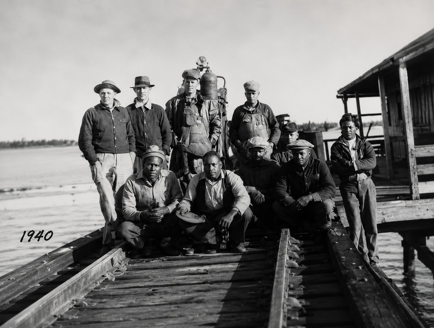
To connect the inland mines with this natural deep-water harbor, the Charlotte Harbor & Northern Railway, financed by the American Agricultural Chemical Company, was constructed across Southwest Florida. Completed in 1907, the railroad crossed rivers, wetlands, and coastal lowlands before reaching the southern end of Gasparilla Island. At the time, it was one of the most ambitious transportation projects ever built in Southwest Florida.
The new railway transformed the region almost overnight.
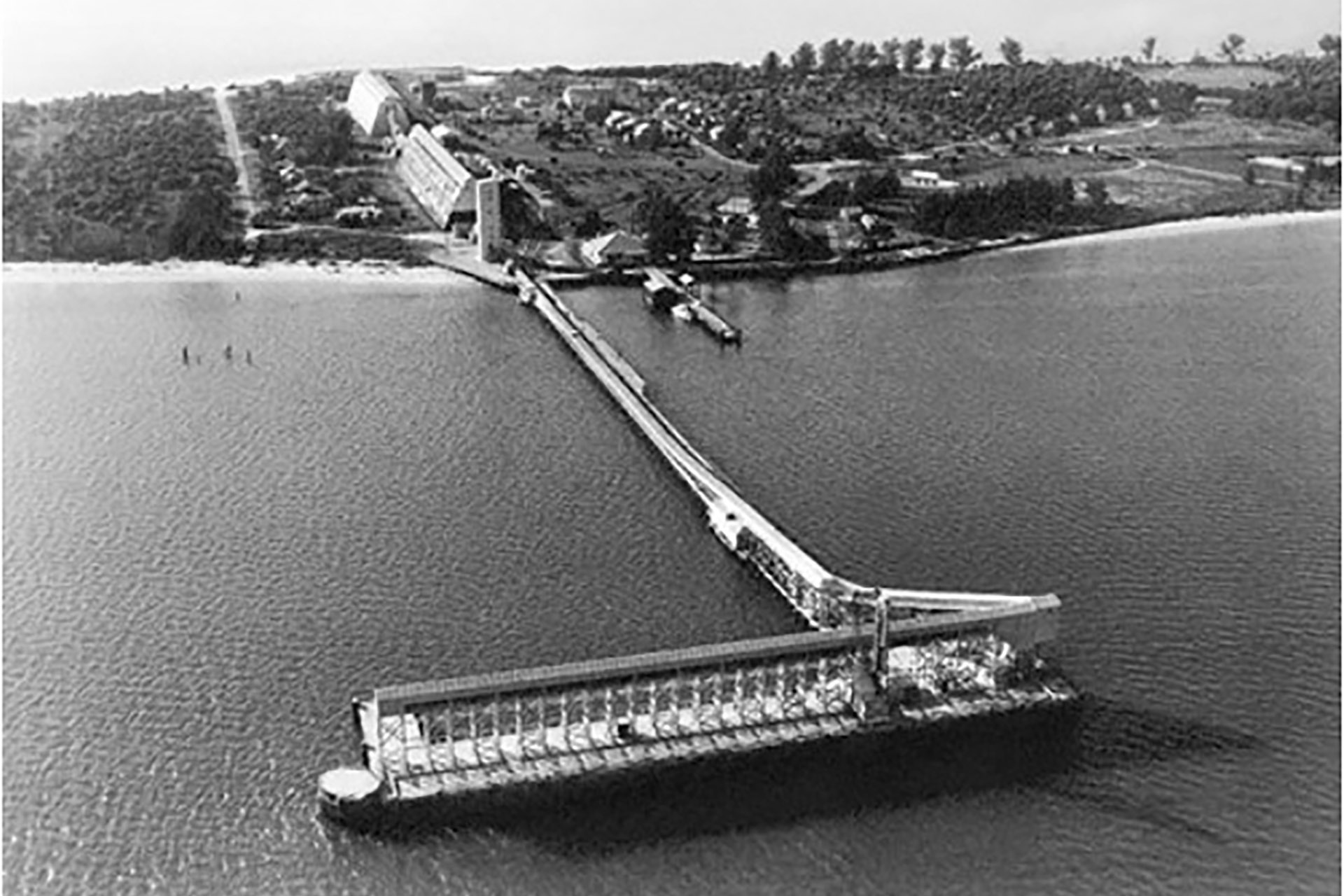
Placida became the mainland gateway, where railroad operations, supplies, and workers supported the growing port. Across the bay, Port Boca Grande developed into one of the world’s busiest phosphate export terminals. Massive loading docks extended into deep water, allowing large ocean-going freighters to be loaded efficiently.
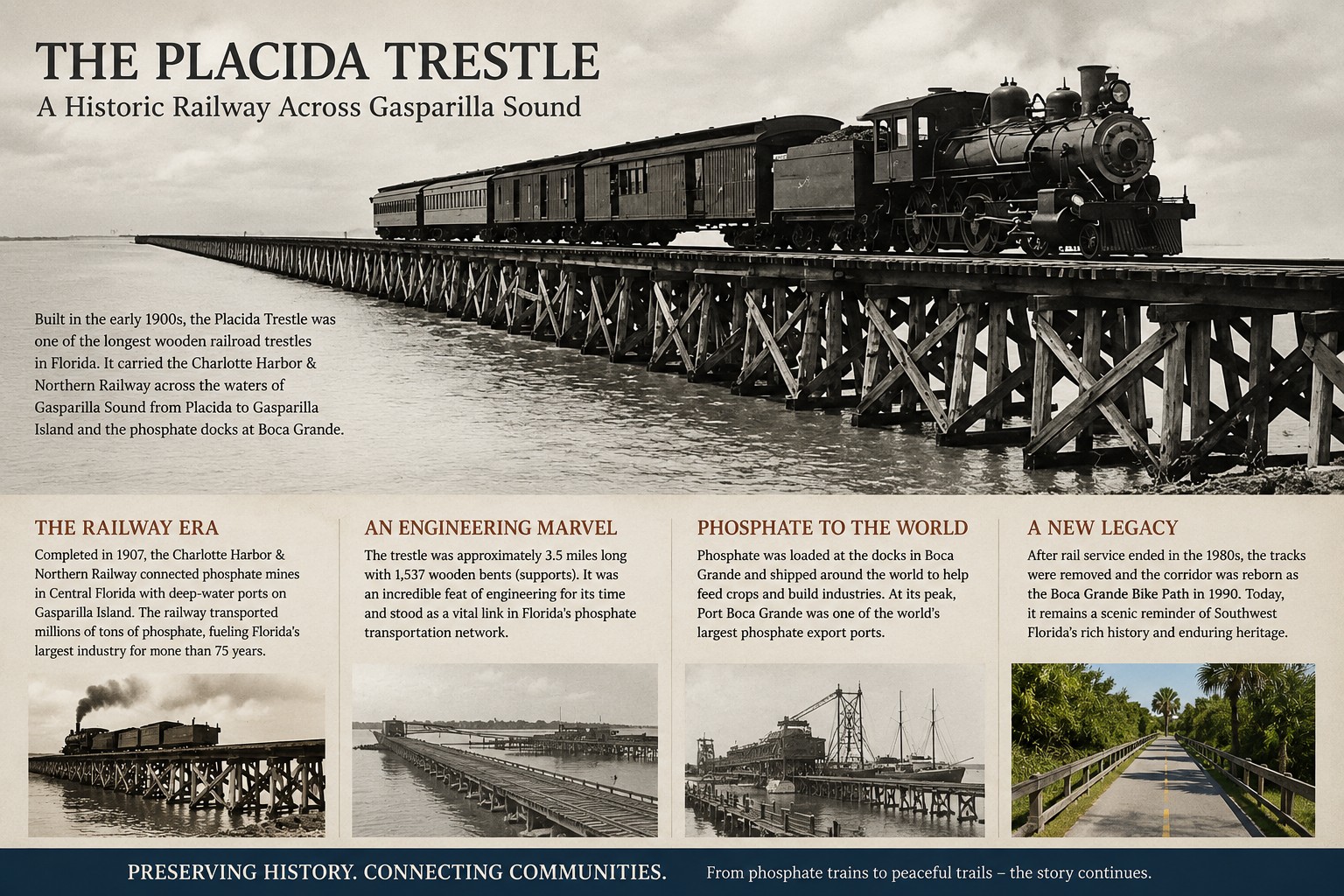
For decades, long trains arrived daily carrying phosphate from Central Florida mines. Specialized loading equipment transferred the rock directly from railcars into the holds of waiting ships. From Boca Grande, millions of tons of phosphate were exported to agricultural markets around the world, linking this small corner of Southwest Florida to the global economy.
The railroad’s impact extended far beyond the docks.
New jobs attracted workers and their families. Hotels, stores, warehouses, marine businesses, and support industries expanded to serve railroad employees, dock workers, and visiting ship crews. Punta Gorda strengthened its role as a regional commercial center, while Placida grew into the mainland transportation hub serving the island and the port.
Yet even during the height of industrial activity, Southwest Florida never lost its close connection to the water. Commercial fishermen continued working the estuaries, tarpon anglers arrived each season to fish Boca Grande Pass, and residents, workers, and visitors shared the same waterways that had sustained the Calusa people centuries earlier.
As transportation methods evolved during the late twentieth century, phosphate export operations gradually shifted elsewhere. The great loading docks at Port Boca Grande were dismantled in the early 1990s, ending nearly a century of phosphate shipping from Gasparilla Island.
Today, only weathered concrete foundations and scattered timber pilings remain beneath the waters of Charlotte Harbor. To many visitors, they appear to be little more than forgotten ruins.
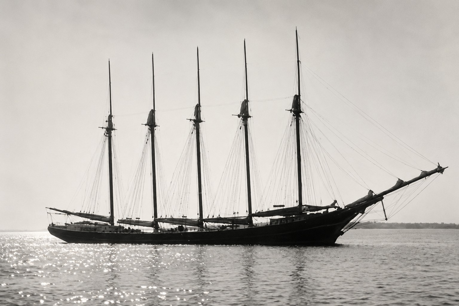
In reality, they are the remnants of an extraordinary engineering achievement—one that connected Central Florida’s phosphate fields with global markets and transformed an isolated barrier island into an internationally significant port.
The railroad carried far more than phosphate.
It reshaped the economy of Southwest Florida and forever changed the history of Gasparilla Island, Boca Grande, and Gasparilla Sound.
Chapter 7 — Tarpon Fishing: The Industry That Brought the World to Boca Grande
Why did wealthy visitors begin traveling to Southwest Florida?
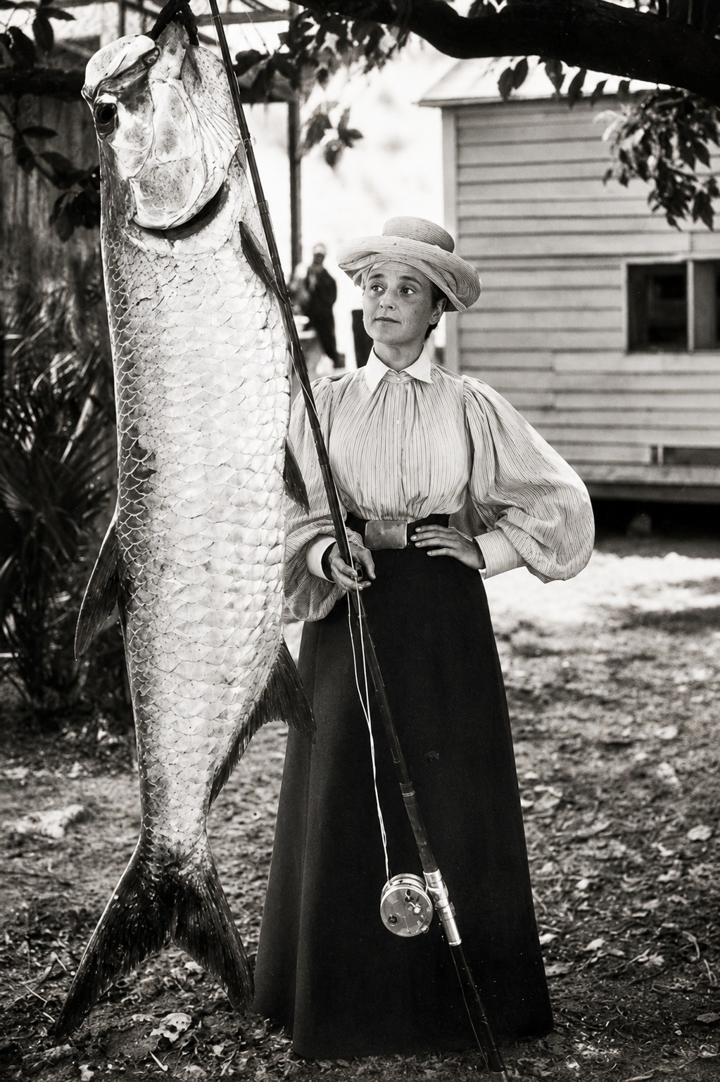
While freight trains were delivering phosphate to Port Boca Grande, another remarkable story was unfolding just beyond the docks.
It involved one fish.
The Atlantic tarpon.
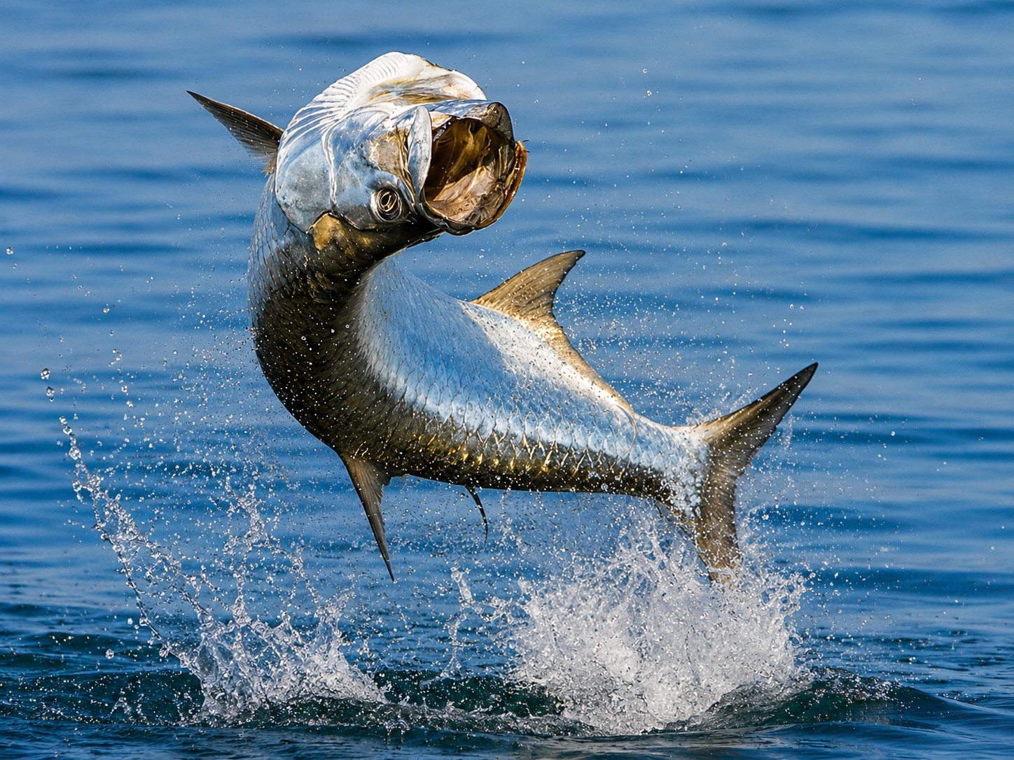
Each spring and early summer, enormous schools of tarpon migrated through Boca Grande Pass on their annual journey along Florida’s Gulf Coast. Weighing well over 100 pounds, these powerful fish challenged even the most experienced anglers and quickly earned an international reputation as one of the world’s greatest sport fish.
By the late nineteenth century, news of Boca Grande’s extraordinary tarpon fishery had spread throughout the United States and beyond. Wealthy businessmen, industrialists, politicians, and outdoor enthusiasts traveled by train to experience what many considered the finest tarpon fishing anywhere in the world.
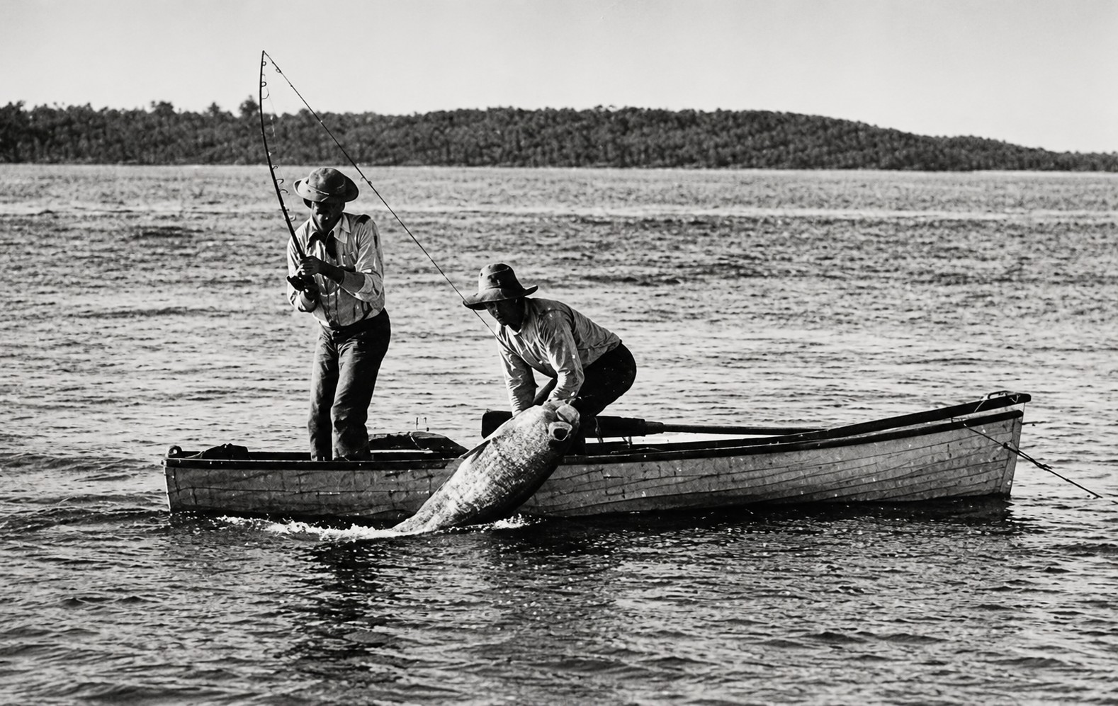
Their arrival transformed Boca Grande in a very different way than the phosphate industry.
Instead of freight terminals and loading docks, visitors needed hotels, restaurants, fishing guides, marinas, tackle shops, and comfortable accommodations. Businesses adapted to serve seasonal guests who often returned year after year.
Professional fishing guides became respected local experts, combining generations of knowledge about tides, currents, fish behavior, and navigation. Their understanding of Boca Grande Pass was built through years of experience on the water, making them essential partners for visiting anglers.
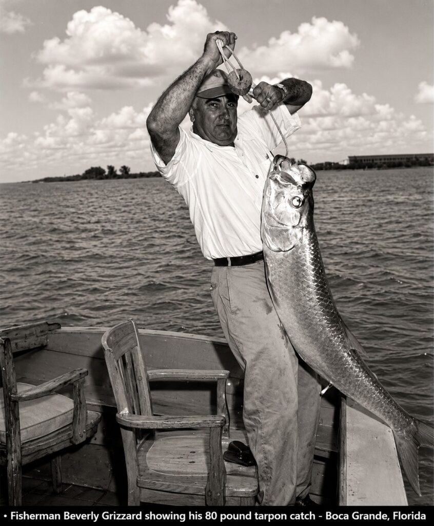
The famous Gasparilla Inn became one of Florida’s premier winter resorts, welcoming distinguished guests from across the country. At the same time, the island retained its working character as commercial fishermen, railroad employees, and local families continued to shape everyday life.
For several decades, two very different economies existed side by side.
One exported millions of tons of phosphate around the world.
The other welcomed visitors who came seeking unforgettable experiences on the water.
Together, they helped establish Boca Grande’s international reputation.
Although the phosphate industry eventually disappeared, the island’s connection to the water never faded. Sport fishing continued to attract visitors, and over time boating, wildlife viewing, shelling, island exploration, and eco-tourism expanded the region’s appeal.
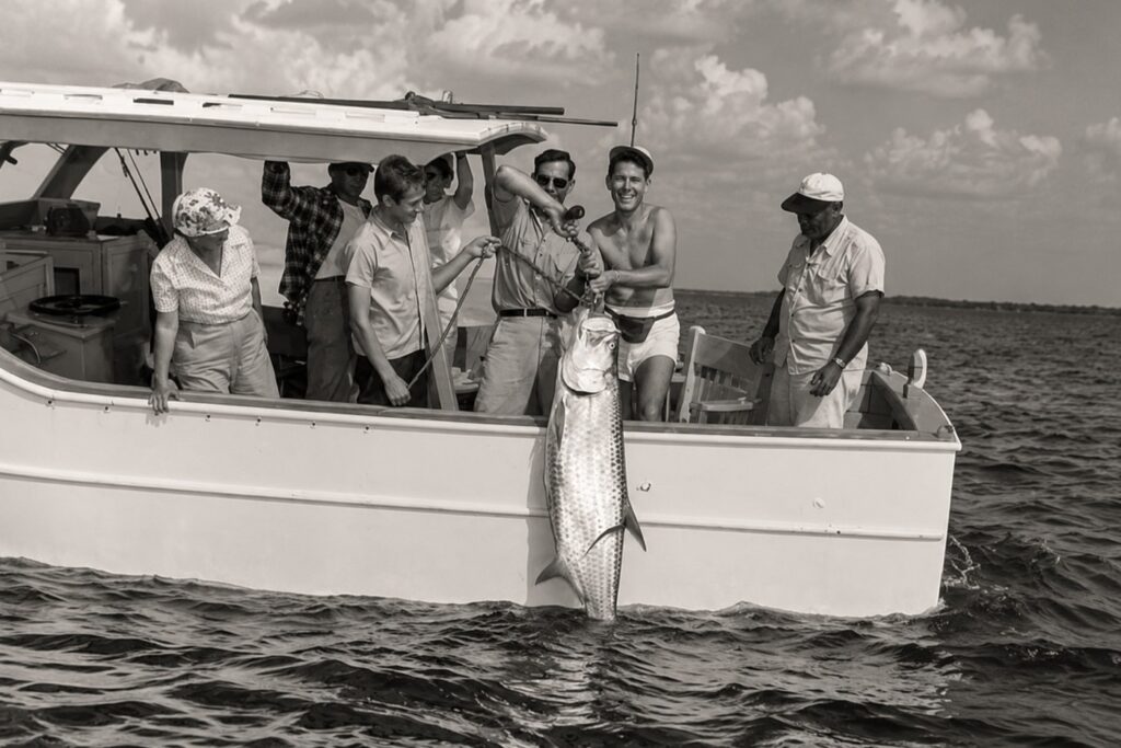
Today, people still travel from around the world to experience the waters surrounding Gasparilla Island.
The reasons may have changed.
But the destination remains the same.
Water continues to connect people with Southwest Florida—just as it has for thousands of years.
Chapter 8 — From Industry to Tourism: A New Chapter for Southwest Florida
Why did Southwest Florida become one of Florida’s most popular coastal destinations?
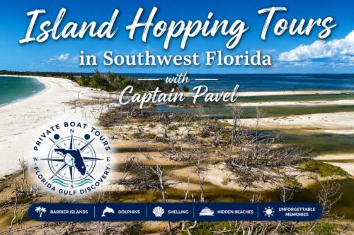
During much of the twentieth century, Southwest Florida experienced another remarkable transformation.
The industries that had built the region—including commercial fishing and phosphate shipping—continued to play important roles, but a new economy was steadily emerging.
People were no longer coming only to work.
They were coming to stay.
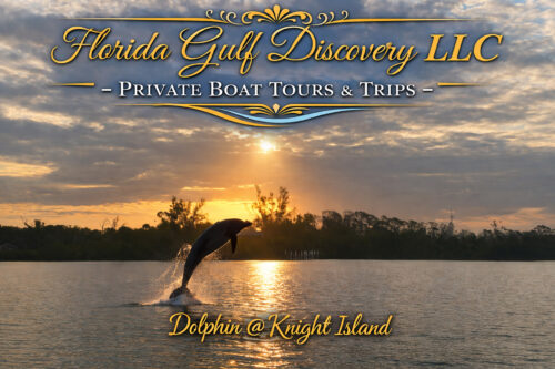
Improved highways, bridges, and automobiles made travel easier than ever before. Communities that had once depended almost entirely on boats or railroads became connected by modern roads, allowing visitors to reach Florida’s Gulf Coast in ways that earlier generations could scarcely imagine.
As transportation improved, tourism expanded rapidly.
Visitors discovered beautiful beaches, world-class fishing, barrier islands, wildlife, shelling, boating, and the peaceful coastal lifestyle that still defines much of Southwest Florida today.
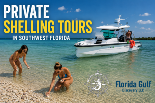
Waterfront hotels, marinas, restaurants, vacation homes, and recreational boating facilities gradually replaced many of the industries that had dominated previous generations.
At the same time, local residents began to recognize that the region’s greatest asset had always been its natural environment.
Charlotte Harbor, Gasparilla Sound, Pine Island Sound, Boca Grande Pass, and the surrounding barrier islands remained among Florida’s most valuable coastal ecosystems. Efforts to protect these waters led to the creation of state parks, aquatic preserves, and conservation areas that now safeguard wildlife, fisheries, and natural habitats for future generations.
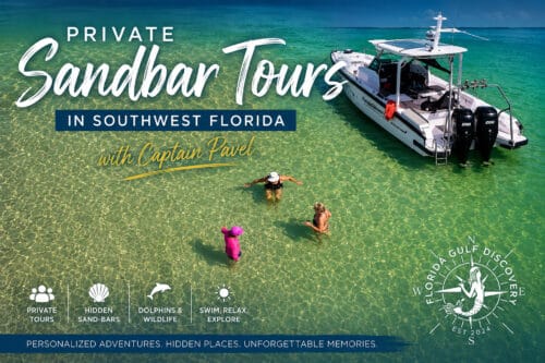
Today, visitors explore these same waters for reasons very different from those of the past.
Some search for dolphins.
Others enjoy shelling on remote beaches.
Many visit Boca Grande for its history, tarpon fishing, or quiet village atmosphere.
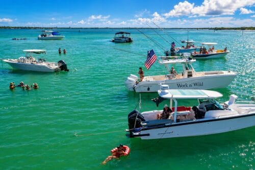
Families cruise through Gasparilla Sound, paddle mangrove tunnels, photograph birds, and discover islands that remain accessible only by boat.
Although Southwest Florida continues to grow, its greatest attraction has never changed.
It is still the water.
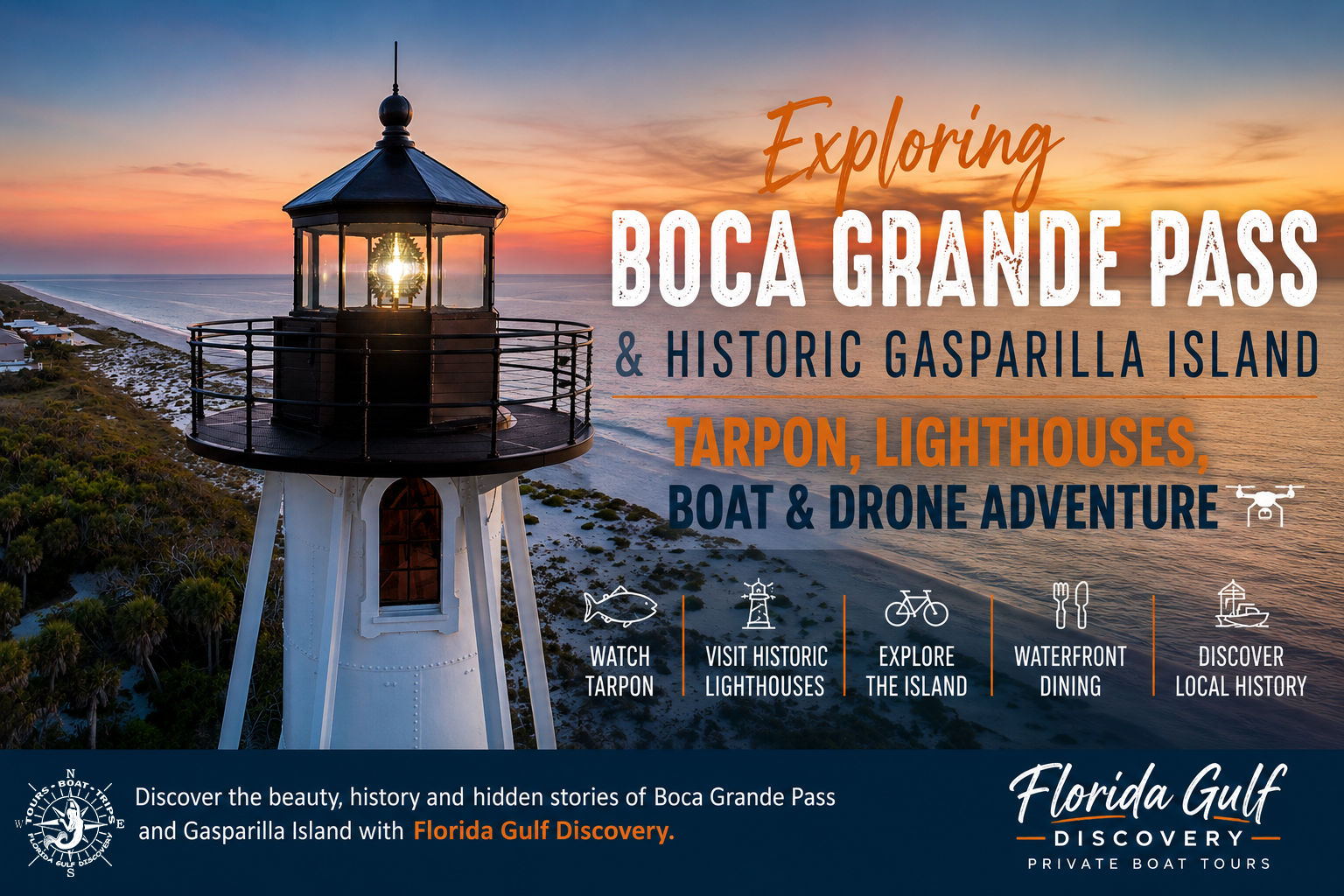
The same waterways that once carried Calusa canoes, pioneer fishing boats, railroad ferries, and phosphate ships now welcome recreational boaters, kayakers, sailors, anglers, photographers, and families seeking unforgettable experiences along Florida’s Gulf Coast.
The industries have changed.
The communities have grown.
The boats look very different.
Yet the waters that shaped Southwest Florida continue to define it today.
The End
For thousands of years, the waters of Southwest Florida have connected people, cultures, industries, and communities. Long before highways crossed the region, these waterways carried Native American canoes, Spanish ships, pioneer fishing boats, commercial vessels, phosphate freighters, and eventually recreational boaters from around the world. The boats have changed. The people have changed. The purpose of the journey has changed. But the water remains the same. It connected everything—and it still does today.