Boat Tours Contents
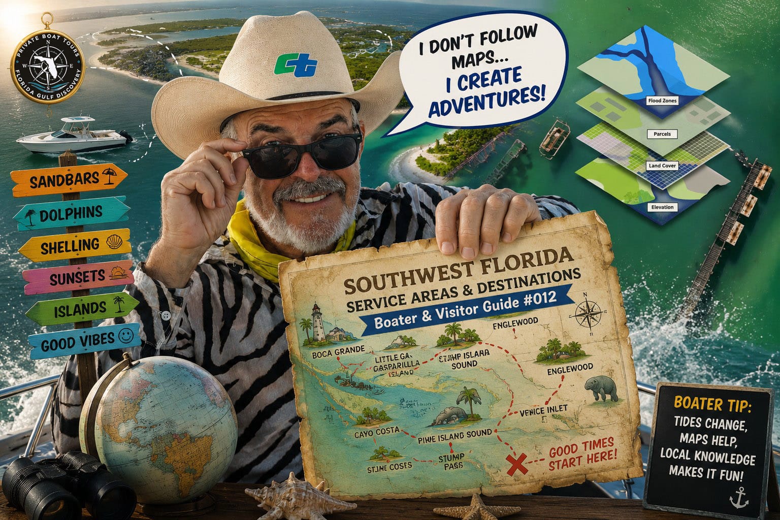
Boat Tour Service Areas
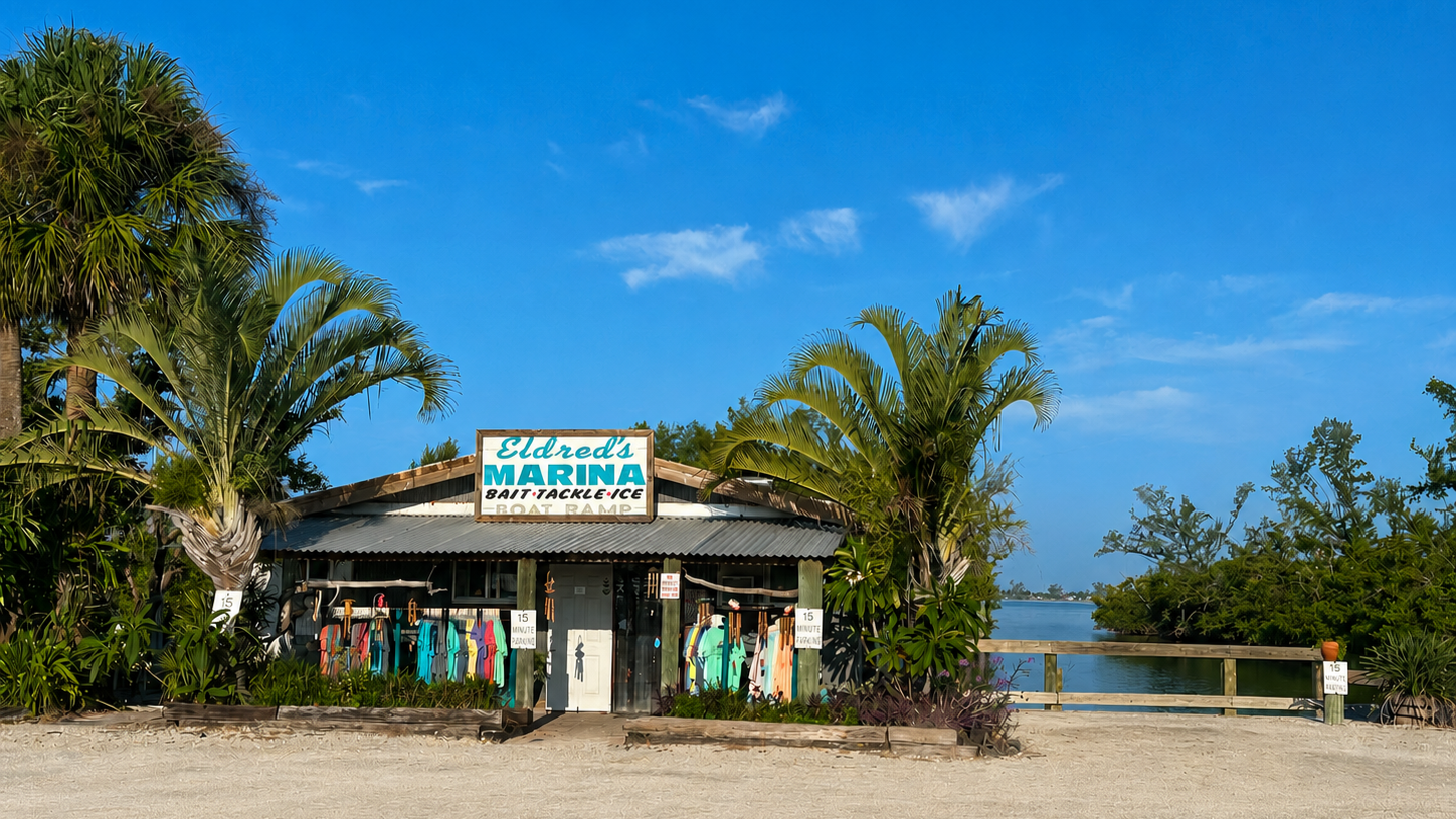
Watch on YouTube: Visit Eldred's Marina in Placida, Florida with Captain Pavel and see one of Southwest Florida's historic waterfront locations and an important gateway to the surrounding islands, passes, sandbars, and waters of Gasparilla Sound.
We offer private boat tours for everyone—local residents, visitors to Southwest Florida, and travelers eager to discover new places and experiences. No matter where you come from, you are welcome aboard Florida Gulf Discovery.
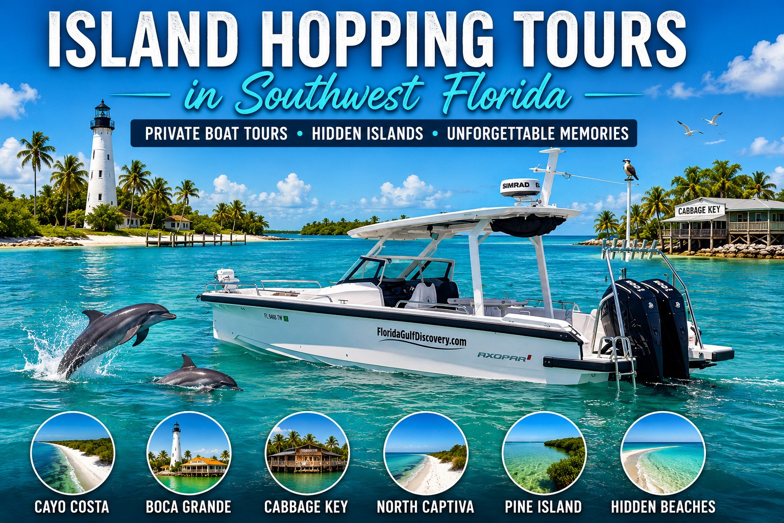
All of our private boat tours depart from Eldred’s Marina in Placida, Florida, providing access to some of Southwest Florida’s most unique coastal destinations. Explore Boca Grande Sandbar, enjoy an island lunch at Cabbage Key, cruise through the famous Ski Alley, discover historic Cayo Costa Island, watch for dolphins and other wildlife, visit secluded beaches and barrier islands, and much more.
The service areas below highlight the Southwest Florida communities we serve, but our guests can come from anywhere in the world.
These communities represent our Southwest Florida service areas, but your adventure is not limited by where you live or where you are staying.
Your journey begins in Placida—and from there, Southwest Florida opens up by water.
Destinations We Explore by Boat
Explore Southwest Florida’s barrier islands, passes, bays, beaches, sandbars, waterways, and coastal destinations from north to south.
Manasota Key
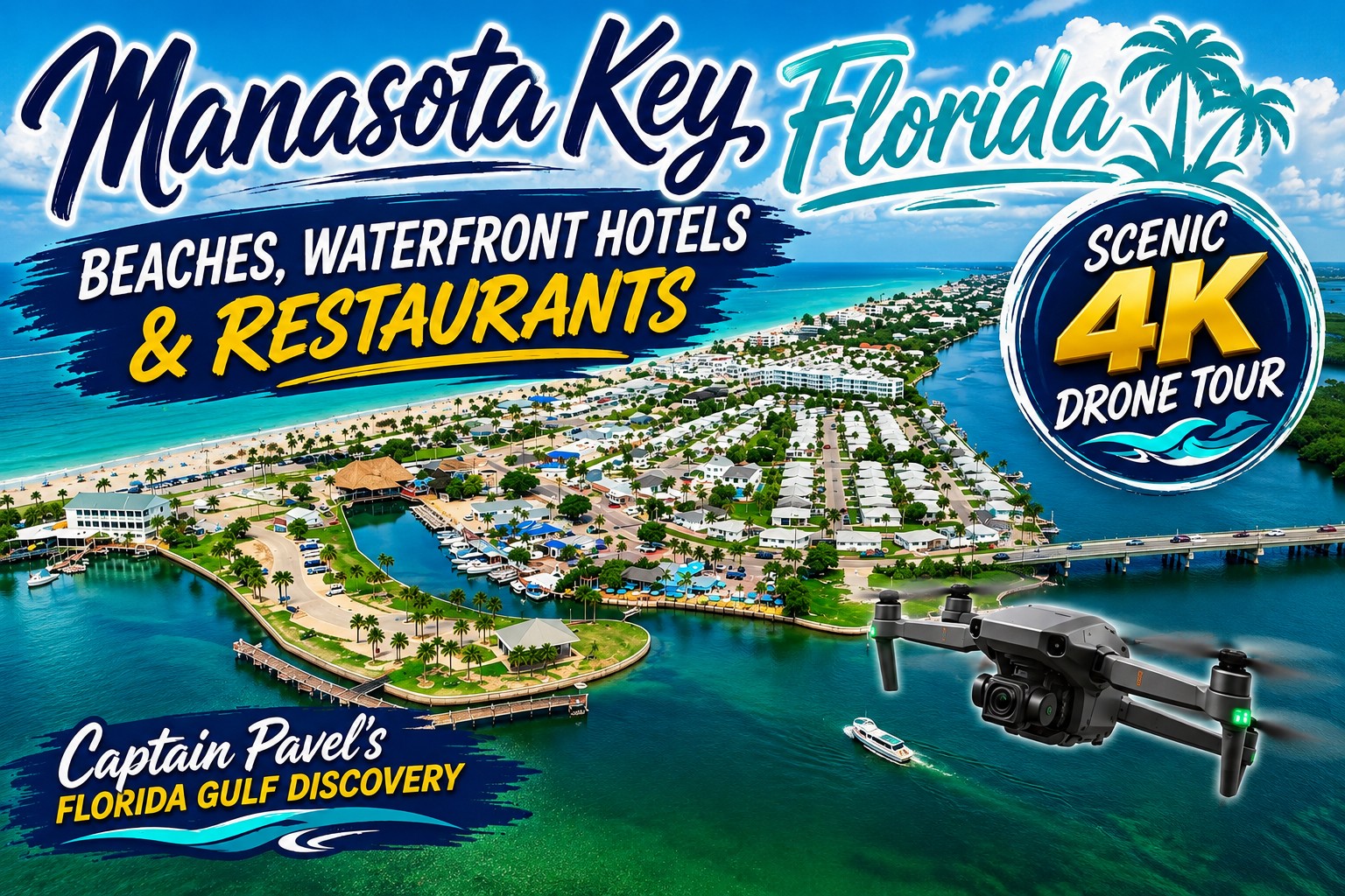
Watch on YouTube: Explore Manasota Key, Florida from above with Captain Pavel in this 4K drone tour. See the long barrier island, Gulf beaches, coastal waters, shoreline, and surrounding Southwest Florida landscape from a unique aerial perspective.
Manasota Key is an approximately 11-mile-long barrier island along Southwest Florida’s Gulf Coast, stretching from the Venice area south toward Englewood and Stump Pass. With the Gulf on one side and Lemon Bay on the other, the island is shaped by beaches, mangrove shorelines, shallow coastal waters, and the natural movement of tides and currents.
What You Can Do & See: Exploring Manasota Key from the water gives you a completely different perspective than seeing it from the road or beach. Cruise along the Lemon Bay side, watch for dolphins, manatees, ospreys, pelicans, and other coastal wildlife, explore the surrounding shallows, or enjoy views of the island’s beaches and Gulf shoreline. To the south, Manasota Key leads naturally toward Stump Pass and Stump Pass Beach State Park, while trips north can continue toward Caspersen Beach and Venice.
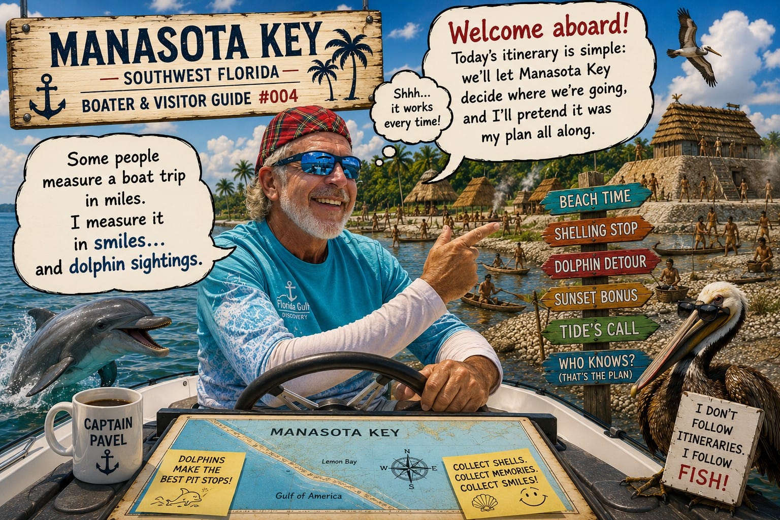
Explore Manasota Key: Discover Manasota Key with Captain Pavel's local Boater & Visitor Guide. Explore its Gulf beaches, Lemon Bay shoreline, boating areas, wildlife, local history and distinctive barrier-island landscape through the observations and experiences of a local captain.
A Little History: The Manasota Key and Lemon Bay area has a human history stretching back thousands of years. Long before modern development, Native American communities lived along these productive coastal waters, relying on the Gulf, bays, and estuaries for food and transportation. The name “Manasota” is a combination of Manatee and Sarasota, a name first created by a timber company in the 1920s. Today, the name has become closely associated with the barrier island and this distinctive stretch of Southwest Florida’s Gulf Coast.
For me, Manasota Key is more than a beach destination. It is part of a larger Southwest Florida coastal system where Lemon Bay, the Gulf, wildlife habitats, beaches, shallow waters, and natural passes all come together—and from a boat, you can see how all of those pieces connect.
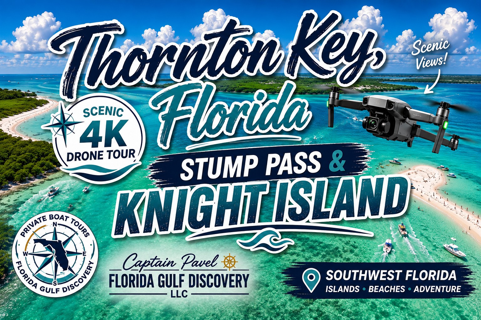
Watch on YouTube: Explore Thornton Key, Stump Pass and Knight Island from above with Captain Pavel. This 4K drone journey reveals shallow coastal waters, sandy shorelines, tidal channels and the natural barrier-island landscape of Southwest Florida from a unique aerial perspective.
Lemon Bay is an approximately 13-mile-long shallow coastal estuary extending through Sarasota and Charlotte counties along Southwest Florida’s Gulf Coast. At its northern end, the bay begins in South Venice, where Alligator Creek historically served as part of its headwaters. From there, Lemon Bay extends south through the Englewood area to the Gasparilla Island Causeway in Placida.
On its western side, Lemon Bay is separated from the Gulf by the barrier islands of Manasota Key and Little Gasparilla Island. Mangrove shorelines, seagrass beds, shallow flats, channels, and small islands create a diverse coastal environment along much of the bay.
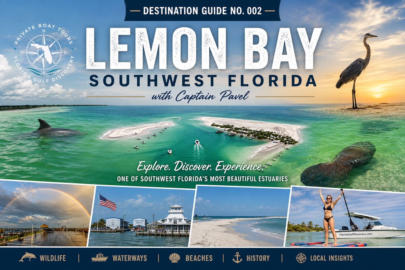
Explore Lemon Bay: Discover Lemon Bay with Captain Pavel's Southwest Florida guide. Explore the bay's waterways, islands, wildlife, boating areas and coastal scenery around Englewood and Manasota Key, with local insight into this important part of Southwest Florida's coastal environment.
What You Can Do & See:
Exploring Lemon Bay by boat is an opportunity to experience one of Southwest Florida’s important estuarine environments. Watch for dolphins, manatees, ospreys, pelicans, herons, egrets, and other coastal wildlife while cruising past mangrove shorelines, seagrass shallows, islands, and waterfront communities. Depending on the route and conditions, Lemon Bay provides access toward Manasota Key, Ski Alley, Stump Pass, Stump Pass Beach State Park, Little Gasparilla Island, and other nearby coastal destinations.
A Little History:
Lemon Bay was once known as Mangrove Bay. In 1886, Joseph Cross used the name Lemon Bay when he filed the plat for nearby Grove City. He believed lemon trees could become an important crop and provide income for new settlers. The agricultural plans did not develop as hoped, but the name Lemon Bay remained and became part of the identity of this stretch of Southwest Florida.
For me, Lemon Bay is more than a route from one destination to another. It is a place where you can read the coast from the boat—water color and depth, mangrove edges, shallow flats, wildlife, tides, and channels all help tell the story of how this part of Southwest Florida works.
Lemon Bay
Caspersen Beach
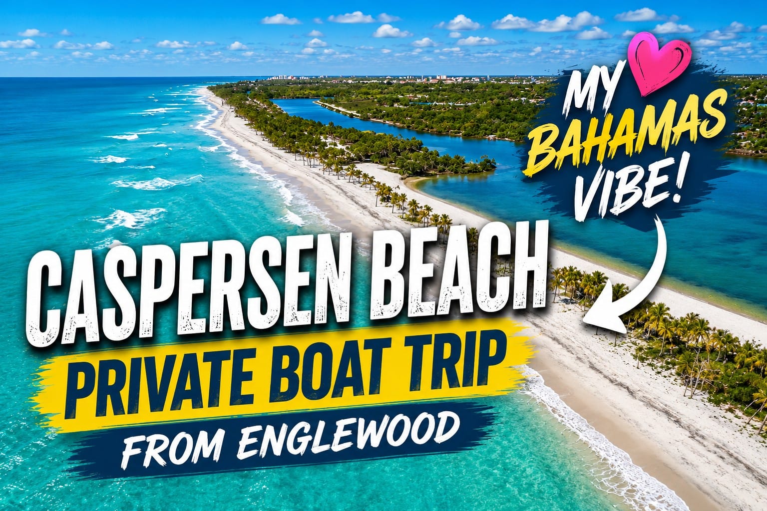
Watch on YouTube: Explore Caspersen Beach, Florida with Captain Pavel and discover one of Southwest Florida's most natural Gulf Coast shorelines. See the beach, coastal waters, undeveloped shoreline, and the area famous for fossilized shark teeth from a unique perspective.
Caspersen Beach is located south of Venice along the Gulf Coast and is one of the more natural stretches of shoreline in Sarasota County. With approximately two miles of Gulf shoreline, along with coastal vegetation, mangroves, marshes, and tidal areas, Caspersen offers a different experience from the more developed beaches around Venice.
What You Can Do & See: Caspersen Beach is especially famous for fossilized shark teeth, making it one of the best-known places around Venice for searching for these prehistoric treasures. Visitors can also enjoy swimming, shelling, wildlife and bird watching, and exploring the natural shoreline. From the water, you can see the long Gulf coastline and how this area transitions south toward Manasota Key.
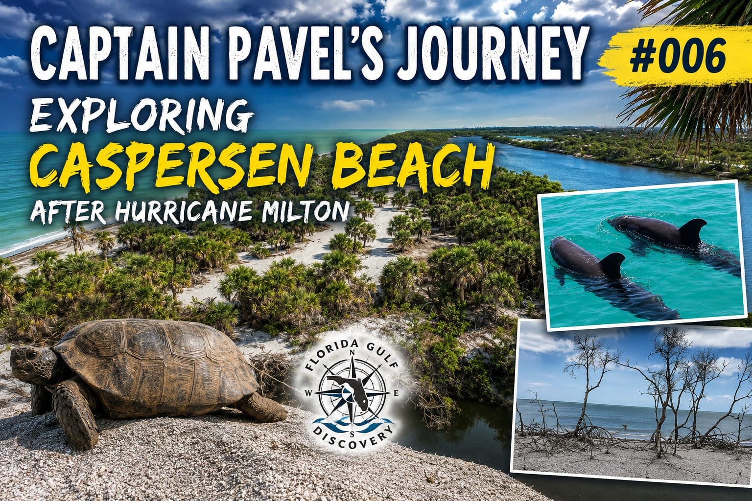
Read Captain Pavel's Journey: Explore Caspersen Beach with Captain Pavel after Hurricane Milton and see how this natural Southwest Florida shoreline changed after the storm. Follow the journey along the coast and discover the beach, surrounding waters and observations from this particular day of exploration.
A Little History: Caspersen Beach takes its name from the Caspersen family, who purchased the property in 1944. The beach is also famous for fossilized shark teeth, remnants of prehistoric marine life millions of years old that continue to wash onto the shoreline.
For me, Caspersen Beach is especially interesting from the water because you can see something that is harder to appreciate from land: a long, natural Gulf shoreline just south of developed Venice.
Ski Alley
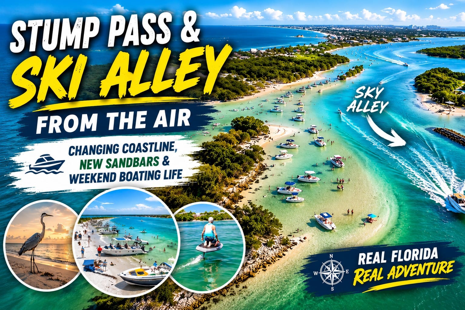
Watch on YouTube: Explore Stump Pass and Ski Alley from above with Captain Pavel. This aerial journey reveals the shallow waters, beaches, tidal channels and barrier-island landscape surrounding one of the most scenic boating areas near Englewood and Manasota Key in Southwest Florida.
Ski Alley is a narrow, protected waterway near the southern end of Manasota Key, running between the key and Peterson Island near Stump Pass. Surrounded by mangrove shoreline and shallow coastal waters, it is one of the most recognizable recreational boating areas around Englewood.
What You Can Do & See: Ski Alley is known for water skiing, wakeboarding, tubing, and recreational boating, but it is also an interesting place to explore at a slower pace. Along the way, you may see dolphins, manatees, ospreys, pelicans, herons, egrets, and other coastal wildlife. Its protected location provides close views of mangrove shoreline, shallow flats, changing water colors, and the natural areas around Peterson Island and Stump Pass.
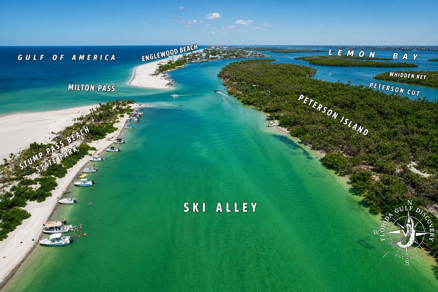
Explore Ski Alley & Stump Pass: Discover the waterways between Ski Alley, Stump Pass and Manasota Key with Captain Pavel. Explore shallow coastal waters, changing passes, sandy shorelines, wildlife and the dynamic barrier-island landscape near Englewood, Florida.
A Little History: Ski Alley earned its local name from generations of boaters using this protected stretch of water for water skiing and other tow sports. Its recreational tradition goes back decades. After public hearings in 2002, Florida wildlife officials chose not to impose a boat-speed restriction in Ski Alley because the channel had historically been used for water-sport activities.
For me, Ski Alley is one of those places where the journey itself is part of the destination. I have traveled through it many times, and it never looks exactly the same—the tide, water depth, wildlife, light, and shoreline are always changing.
Stump Pass
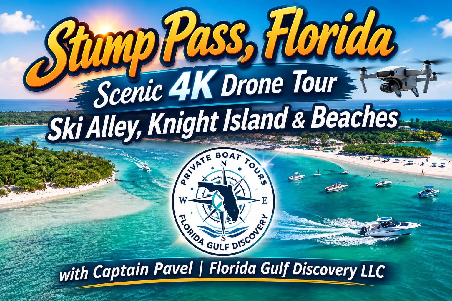
Watch on YouTube: Explore Stump Pass, Ski Alley and the beaches of Knight Island from above with Captain Pavel in this 4K drone tour. See the Gulf shoreline, shallow coastal waters, sandbars, tidal channels and barrier-island landscape that make this part of Southwest Florida especially interesting to explore by boat.
Stump Pass is a natural Gulf inlet at the southern end of Manasota Key, connecting Lemon Bay with the Gulf. Like many natural passes along Southwest Florida, its shape, depth, sandbars, and shoreline can change as tides, currents, storms, and moving sand continually reshape the inlet.
What You Can Do & See: Stump Pass is a fascinating place to explore by boat because several coastal environments come together in a relatively small area. You can cruise through the pass toward the Gulf, watch for dolphins, manatees, rays, pelicans, ospreys, herons, and shorebirds, or enjoy views of beaches, mangrove shoreline, shallow flats, tidal currents, and changing sandbars. Nearby Stump Pass Beach State Park is also known for swimming, shelling, beachcombing, and wildlife viewing.
Explore Stump Pass: Discover Stump Pass with Captain Pavel's local Boater & Visitor Guide. Explore its shifting sandbars, tidal channels, beaches, wildlife, navigation conditions and the constantly changing coastline between Manasota Key and Knight Island near Englewood, Florida.
A Little History: The Stump Pass we see today is not in the same location as the original pass shown on surveys from 1883 and 1895. The earlier inlet was about 1.3 miles north of today’s pass. The present Stump Pass is believed to have opened during a 1910 hurricane, and by 1925 the former northern inlet had closed. The exact origin of the name “Stump Pass” remains uncertain.
For me, Stump Pass is one of the best places to see how quickly Southwest Florida’s coastline can change. I have traveled through these waters many times, but the pass never looks exactly the same. Tides expose or cover sand, currents reshape the shallows, and storms can alter the shoreline—sometimes creating an entirely different view from one visit to the next.
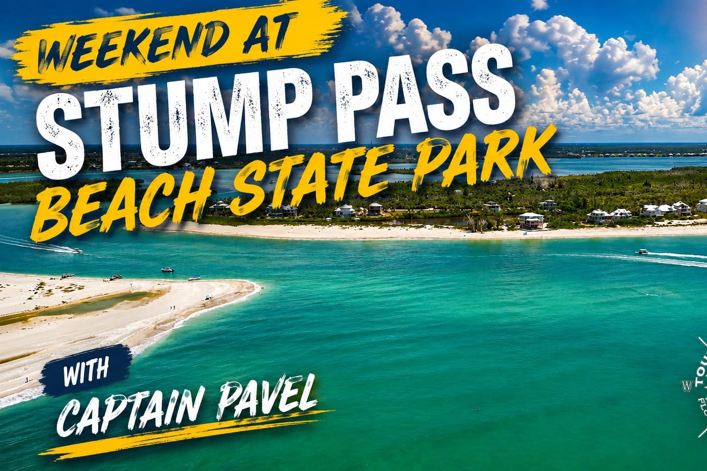
Watch on YouTube: Spend a weekend at Stump Pass Beach State Park with Captain Pavel and explore one of Southwest Florida's beautiful natural barrier-island destinations. See the Gulf shoreline, beach, shallow coastal waters, boating activity and changing landscape around Stump Pass from both the water and the air.
Stump Pass Beach State Park protects the southern end of Manasota Key, where Lemon Bay meets Stump Pass and the Gulf. The park preserves a beautiful combination of Gulf beach, mangrove shoreline, shallow flats, tidal waters, and natural coastal habitat. Its location beside Stump Pass also makes it one of the best places in the Englewood area to observe how barrier-island shorelines continually change.
What You Can Do & See:
The park is ideal for swimming, shelling, beachcombing, walking, paddling, photography, and wildlife watching. From the boat, you can explore the waters surrounding the southern end of the park and watch for dolphins, manatees, ospreys, pelicans, herons, egrets, and shorebirds. The combination of Gulf beach, Lemon Bay, Stump Pass, nearby islands, and mangrove shoreline makes the scenery especially diverse.
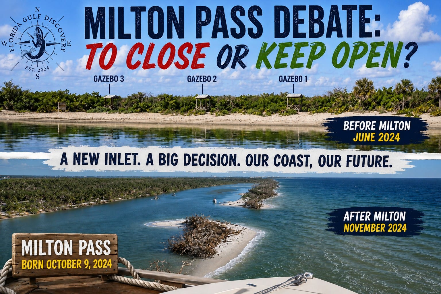
Explore Milton Pass: Discover the story of Milton Pass with Captain Pavel, from its formation during Hurricane Milton to the changes that followed along this dynamic Southwest Florida coastline. Explore the pass, surrounding waterways, shifting sand and the debate over whether this temporary inlet should remain open or be closed.
A Little History:
Before becoming Stump Pass Beach State Park, the area was known as Port Charlotte Beach State Recreation Area. Florida acquired the property from Charlotte County in 1970, including the southern peninsula of Manasota Key and nearby Whidden Key and Peterson Key. When the park opened in 1971, it had only four parking spaces and no visitor amenities. After later improvements, it reopened in August 2000 with expanded parking, restrooms, showers, picnic facilities, and a boardwalk.
For me, Stump Pass Beach State Park is special because you can see several different sides of Southwest Florida in one place. From the boat, I can look toward the protected waters and mangroves of Lemon Bay, the moving water of Stump Pass, and the open Gulf beyond—all within a relatively small area.
Stump Pass Beach State Park
Little Gasparilla Island
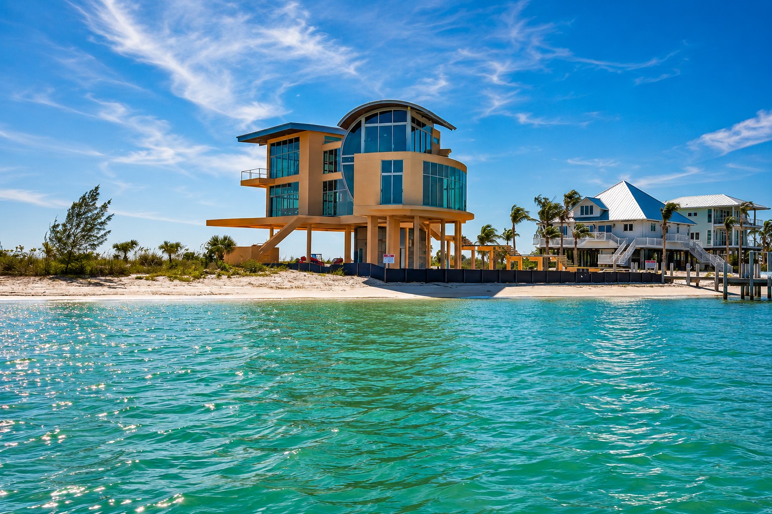
Watch on YouTube: Explore Little Gasparilla Island, Florida with Captain Pavel and discover this unique boat-access barrier island from the water. See waterfront homes, quiet shorelines, beaches, surrounding coastal waters and the distinctive island lifestyle of Southwest Florida.
Little Gasparilla Island is the southern section of a continuous barrier-island landmass that also includes Don Pedro Island and Knight Island. Today the three areas appear as one long island, stretching between Stump Pass to the north and Gasparilla Pass to the south, but each still retains its own name and character.
What You Can Do & See: Exploring Little Gasparilla Island by boat offers access to quiet Gulf beaches, shallow coastal waters, mangrove shoreline, and a less-developed island atmosphere. You can enjoy swimming, shelling, beach walking, wildlife watching, photography, and relaxing along the Gulf shoreline. While cruising around the island, watch for dolphins, manatees, ospreys, pelicans, herons, egrets, rays, and other coastal wildlife. To the north are Don Pedro Island and Knight Island, while the southern end leads toward Gasparilla Pass, Gasparilla Sound, and Gasparilla Island.
Explore Little Gasparilla Island: Discover Little Gasparilla Island with Captain Pavel on a private boat tour. Explore quiet beaches, shallow coastal waters, waterfront scenery and the natural barrier-island environment of this unique boat-access destination in Southwest Florida.
A Little History: Little Gasparilla Island, Don Pedro Island, and Knight Island were once separate barrier islands divided by narrow passes. Over time, the former Little Gasparilla Pass and Bocilla Pass gradually closed, physically joining the three islands into the continuous landmass we see today. Even though they are now connected, the three areas still retain their historic names and individual identities.
For me, Little Gasparilla Island is a perfect example of how Southwest Florida’s coastline is always changing. Passes can close, islands can become connected, and the geography we see today may be very different from what earlier generations knew.
Boca Grande Pass
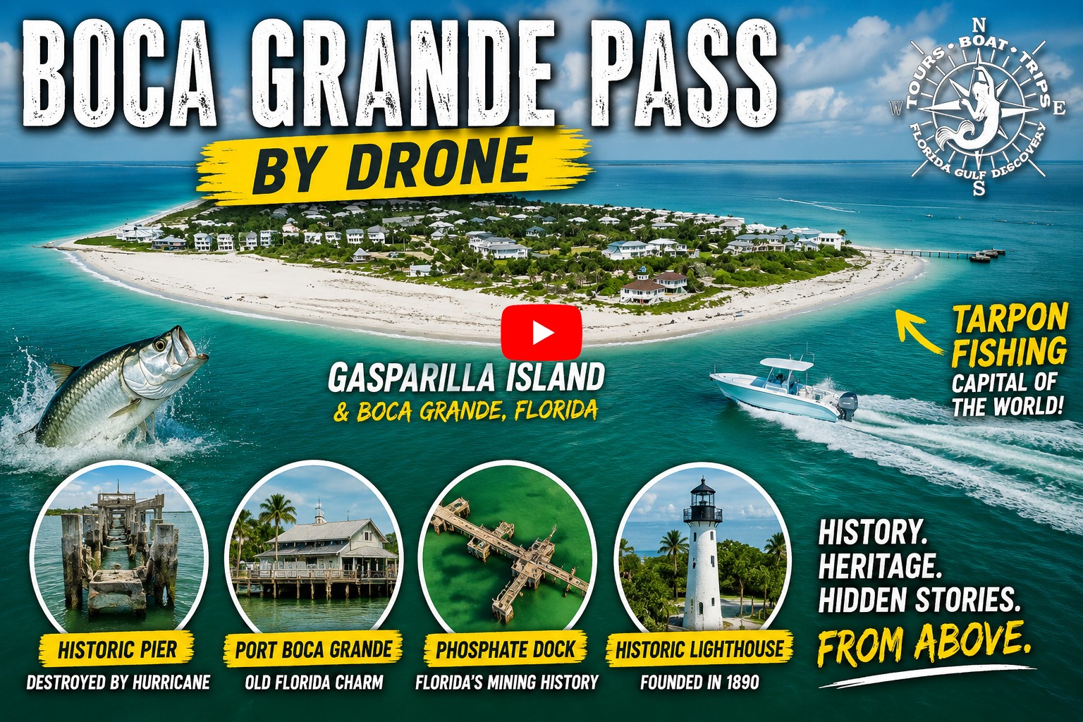
Watch on YouTube: Explore Boca Grande Pass from above with Captain Pavel. This aerial journey reveals the powerful connection between Charlotte Harbor and the Gulf of Mexico, along with Gasparilla Island, surrounding barrier islands, changing water colors, tidal currents, and one of Southwest Florida's most famous waterways.
Boca Grande Pass is a deep natural inlet between Gasparilla Island and Cayo Costa, connecting Charlotte Harbor with the Gulf. It is one of the deepest natural passes in Florida, reaching depths of approximately 80 feet. Large volumes of tidal water moving between Charlotte Harbor and the Gulf create strong currents, deep channels, shoals, and an exceptionally productive marine environment.
What You Can Do & See: Exploring Boca Grande Pass by boat offers impressive views of Gasparilla Island, Cayo Costa, Charlotte Harbor, the Gulf, and the Port Boca Grande Lighthouse. The pass is especially famous for tarpon, which gather here seasonally in large numbers. Dolphins, sea turtles, rays, sharks, pelicans, ospreys, and other marine and coastal wildlife may also be seen. Conditions can change quickly with the tide, wind, current, and boat traffic, making this a place to enjoy—and respect—from the water.
Explore Boca Grande Pass: Discover Boca Grande Pass with Captain Pavel's Boater & Visitor Guide. Explore its maritime history, powerful tidal currents, navigation, wildlife, legendary tarpon fishery, Port Boca Grande Lighthouse and the natural forces that shaped one of Southwest Florida's most famous waterways.
A Little History: “Boca Grande” means “Big Mouth” in Spanish, an appropriate name for this broad, deep entrance to Charlotte Harbor. Its naturally deep water became important to shipping in the late 1800s, particularly after phosphate mining expanded along the Peace River. The Port Boca Grande Lighthouse was first lit in 1890 to help guide vessels through the pass. By the early 1900s, Boca Grande Pass was also becoming internationally famous for its seasonal tarpon fishing, eventually earning Boca Grande the reputation of the “Tarpon Capital of the World.”
For me, Boca Grande Pass is a place that deserves respect. Deep water does not mean simple water. Strong tidal currents, changing conditions, shoals, boat traffic, and wildlife can all come together here. But it is also one of the most impressive places I travel by boat—the point where Charlotte Harbor opens into the Gulf and the character of the water changes right in front of you.
Boca Grande Sandbar
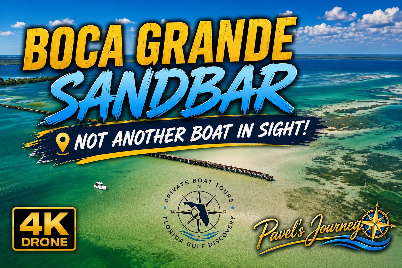
Watch on YouTube: Explore Boca Grande Sandbar from above with Captain Pavel in this 4K drone journey. See the shallow water, shifting sand, tidal patterns and surrounding coastal landscape near Gasparilla Island, and discover how dramatically this popular Southwest Florida boating destination can change with the tide.
Boca Grande Sandbar is a broad shallow-water area near the southern end of Gasparilla Island, beside the historic Placida Trestle and close to Boca Grande Pass. The sandbar lies where the waterways around Placida, Gasparilla Sound, Charlotte Harbor, and Boca Grande come together. Its appearance changes dramatically with the tide—areas covered by water at higher tide can become shallow enough for people to stand, wade, and relax as the water falls.
What You Can Do & See: Boca Grande Sandbar is a popular place to anchor, swim, wade in shallow water, relax, socialize, photograph the coastline, and watch passing boats. Dolphins are frequent visitors to the surrounding waters, and you may also see rays, pelicans, ospreys, shorebirds, and other marine life. On busy weekends and holidays, the sandbar can become a lively gathering place filled with boats and people; at quieter times, the same location can feel almost completely different.
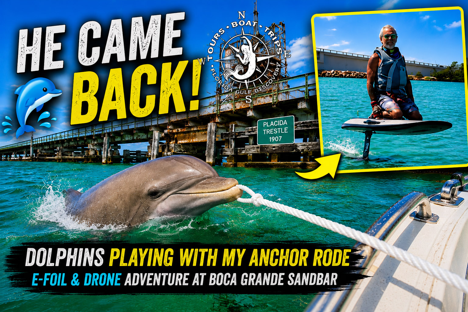
Read Captain Pavel's Journey: Discover an unexpected encounter at Boca Grande Sandbar, where dolphins began playing around the boat and its anchor rope during an e-foil adventure. Follow Captain Pavel's experience and see how an ordinary day on the water became a memorable Southwest Florida wildlife encounter.
A Little History: The sandbar sits beside the historic Placida Trestle, part of the former railroad route that connected the mainland with Boca Grande and played an important role in the area’s transportation and phosphate-shipping history. The sandbar itself is not a fixed piece of land. Tides, currents, storms, and moving sediment around the surrounding passes continually influence its shape, depth, and exposed areas.
For me, Boca Grande Sandbar can feel like two completely different destinations in the same day. I have seen it filled with boats, people, music, and activity—and returned later to find almost nobody there. The location may be the same, but the tide, light, weather, boat traffic, and time of day can completely change the experience.
Gasparilla Island
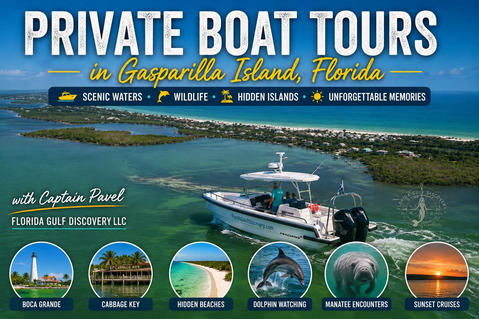
Watch on YouTube: Explore Gasparilla Island, Florida with Captain Pavel and discover this remarkable Southwest Florida barrier island from the water. See Boca Grande, beautiful beaches, clear coastal waters, historic landmarks and the surrounding island scenery that make Gasparilla Island an exceptional destination for a private boat tour.
Gasparilla Island is a narrow barrier island along Southwest Florida’s Gulf Coast, extending from Gasparilla Pass in the north to Boca Grande Pass in the south. The island separates the Gulf from Gasparilla Sound and Charlotte Harbor and is best known for the historic community of Boca Grande. Beaches, mangrove shoreline, passes, shallow coastal waters, and two historic lighthouses give the island a distinctive character from both land and water.
What You Can Do & See: Exploring Gasparilla Island by boat offers views of Boca Grande, Boca Grande Pass, Gasparilla Pass, the Port Boca Grande Lighthouse, and the Gasparilla Island Rear Range Lighthouse. You can cruise along the shoreline, watch for dolphins, manatees, sea turtles, rays, ospreys, pelicans, and other wildlife, stop near beaches and sandbars, or explore the surrounding waters of Gasparilla Sound and Charlotte Harbor. The southern end of the island provides some of the most recognizable views around Boca Grande Pass.
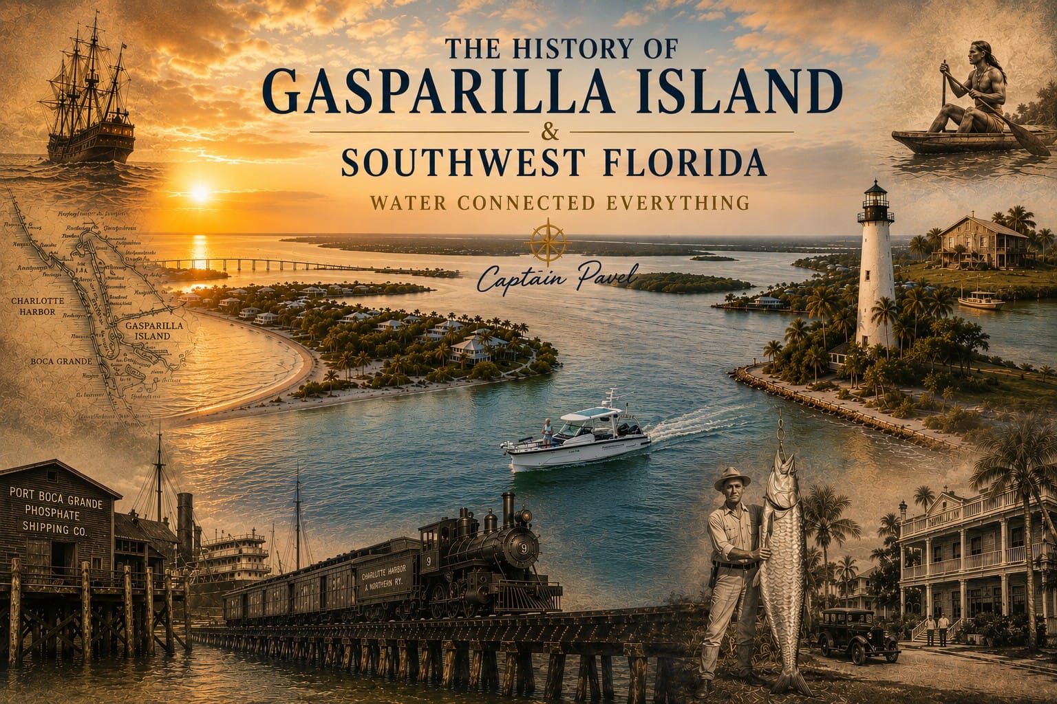
Explore the History of Gasparilla Island: Follow Captain Pavel through the remarkable history of Gasparilla Island and Southwest Florida—from the Calusa civilization and early coastal communities to commercial fishing, the railroad, phosphate industry, world-famous tarpon fishing and today's coastal tourism.
A Little History: People have depended on the waters around Gasparilla Island for centuries. Indigenous people used the island’s coastal resources, and Spanish fishermen later established fishing operations around Charlotte Harbor. The island changed dramatically with the growth of Florida’s phosphate industry. Construction of the Charlotte Harbor & Northern Railway began in 1905, and the railroad from Boca Grande to Arcadia was completed in 1907, helping transform the island into an important deep-water shipping center. The Port Boca Grande Lighthouse was built in 1890 and remains one of the island’s most recognizable historic landmarks.
The island’s name also carries an interesting mystery. Gasparilla is often associated with the legendary pirate José Gaspar, but historians have found no reliable evidence that he actually existed. More importantly, versions of the Gaspar name appear on maps from long before the famous pirate story, suggesting that the place-name has a much older origin.
For me, Gasparilla Island is one of those places where natural geography and human history are impossible to separate. From the boat, you can see the deep pass that brought ships here, the lighthouses built to guide them, the shoreline that attracted visitors, and the waters that continue to make Boca Grande one of Southwest Florida’s most recognizable coastal destinations.
Gasparilla Sound
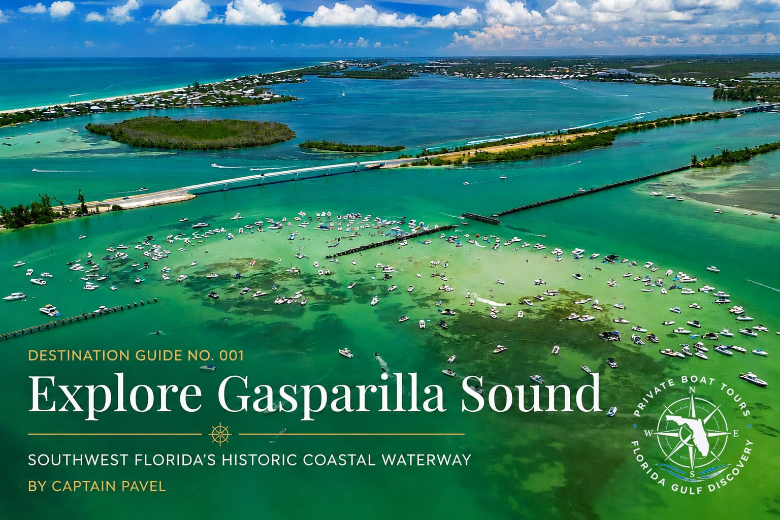
Explore Gasparilla Sound: Discover Gasparilla Sound with Captain Pavel's Boater & Visitor Guide. Explore its barrier islands, sandbars, passes, historic landmarks, wildlife and shallow coastal waterways while learning about the geography and history of one of Southwest Florida's remarkable estuaries.
Gasparilla Sound is a broad, shallow coastal waterway lying primarily between Gasparilla Island to the west and the Cape Haze–Placida shoreline to the east. It connects with Charlotte Harbor to the south and the waterways around Placida to the north. Mangrove islands, seagrass beds, shallow flats, natural channels, and deeper navigation routes make the sound an important transition between the mainland and Southwest Florida’s barrier islands.
What You Can Do & See: Exploring Gasparilla Sound by boat offers a combination of open-water views and quiet shallow-water environments. You may see dolphins, manatees, ospreys, pelicans, herons, egrets, rays, and other coastal wildlife while cruising past mangrove islands and seagrass flats. From the sound, you can continue toward Gasparilla Island, Boca Grande Sandbar, Gasparilla Pass, Boca Grande Pass, and Charlotte Harbor, or north toward Placida. The changing water colors often make the transition between deeper channels and very shallow flats visible from the boat.
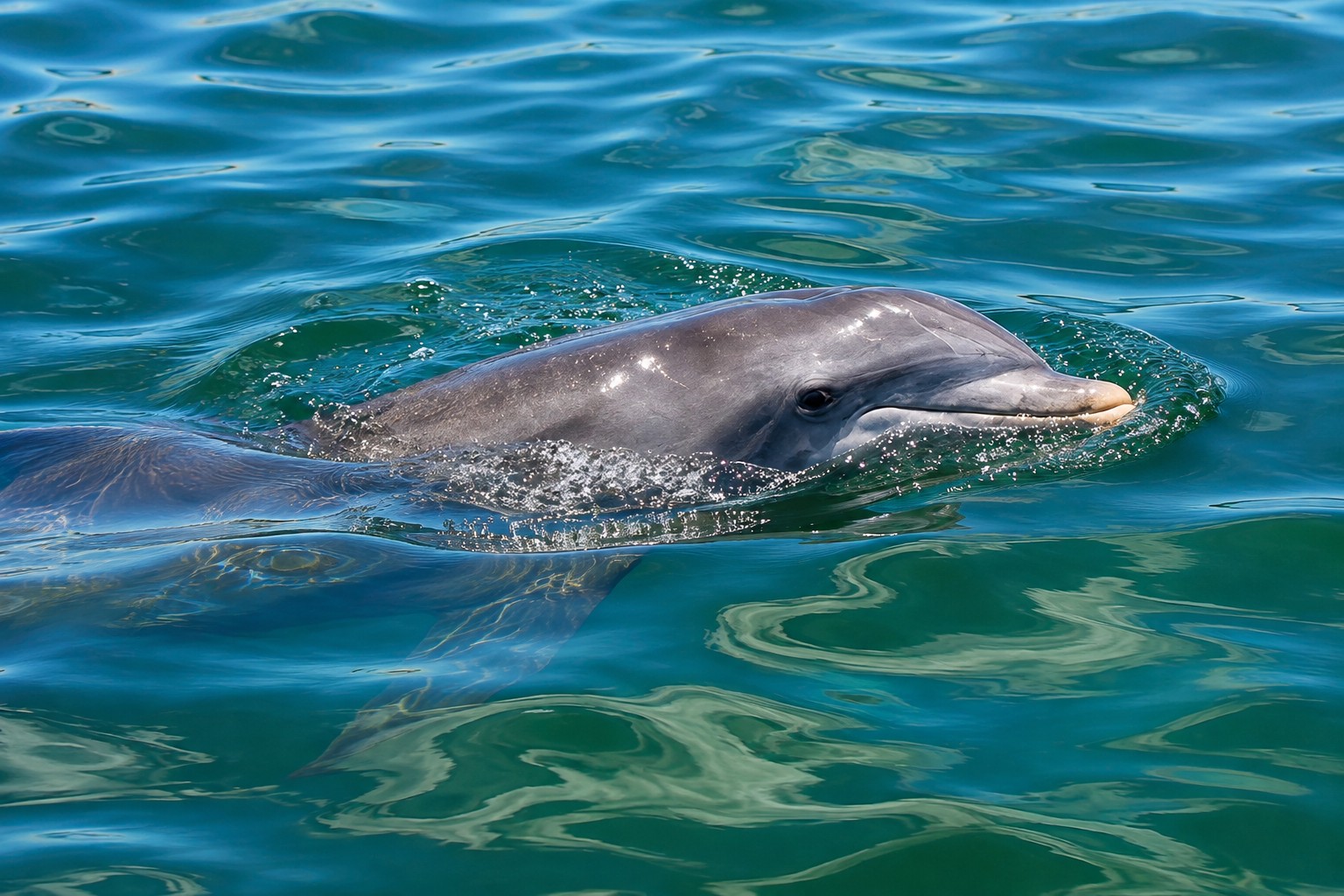
Explore Dolphin Tours: Discover bottlenose dolphins in the waters of Gasparilla Sound and Boca Grande with Captain Pavel. Explore their natural habitat on a private boat tour through Southwest Florida's coastal waterways while watching for dolphins, manatees, seabirds and other local wildlife.
A Little History: Gasparilla Sound has appeared on navigation surveys for well over a century. A U.S. government survey from the early 1900s described the sound as approximately 9 miles long and up to 6 miles wide, with shallow natural channels connecting it with Charlotte Harbor and the Gulf. Even then, surveyors documented how quickly this coastline could change: nearby Boca Nueva had shifted about three-quarters of a mile south from its earlier charted position. In 1979, Gasparilla Sound became part of the Gasparilla Sound–Charlotte Harbor Aquatic Preserve, helping protect this important estuarine environment.
For me, Gasparilla Sound is a place where knowing the water matters. A chart may show the route, but from the helm you also watch water color, tides, markers, wind, and the edges of the shallow flats. It is a beautiful part of the trip—and a good example of why exploring Southwest Florida by boat is about much more than simply traveling from one point to another.
Cayo Costa State Park
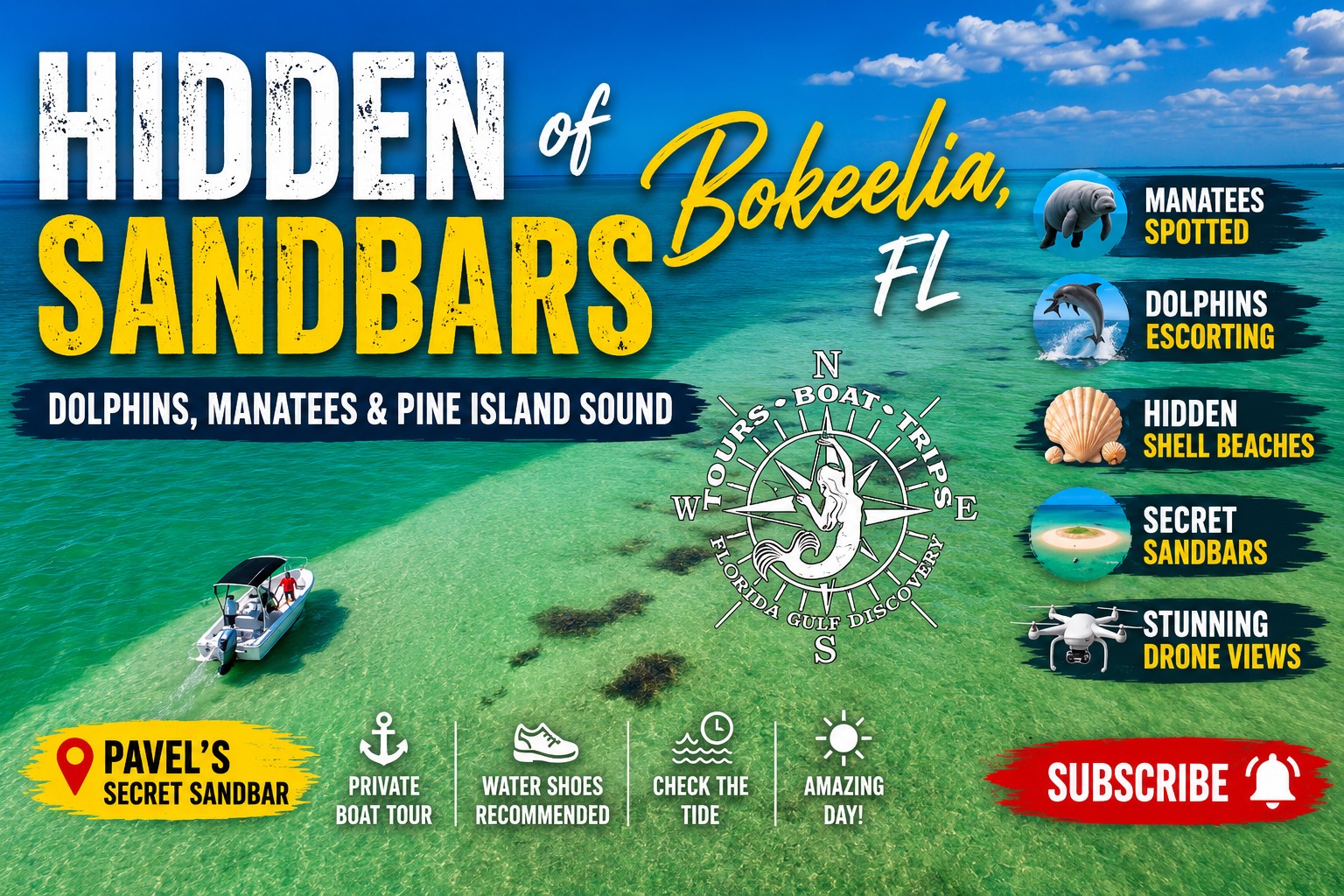
Watch on YouTube: Explore the hidden sandbars of Bokeelia and Pine Island Sound with Captain Pavel. Discover shallow clear water, secluded sandbars, shell beaches and coastal wildlife, including opportunities to encounter dolphins and manatees while exploring this remarkable part of Southwest Florida by boat.
Cayo Costa State Park protects much of Cayo Costa Island, a barrier island south of Boca Grande Pass between Charlotte Harbor, Pine Island Sound, and the Gulf. With miles of undeveloped Gulf shoreline, mangrove forests, pine flatwoods, coastal hammocks, lagoons, and shallow bays, Cayo Costa preserves one of the more natural barrier-island landscapes remaining in Southwest Florida. Because there is no bridge connecting Cayo Costa to the mainland, the island is reached by boat.
What You Can Do & See: Cayo Costa is an outstanding destination for swimming, shelling, beach walking, wildlife watching, photography, and exploring natural shoreline. Its long Gulf beach is one of the island’s main attractions, while the protected eastern side offers mangrove shoreline and quieter waters. Around the island you may encounter dolphins, manatees, sea turtles, rays, ospreys, pelicans, herons, egrets, and other coastal wildlife. From Cayo Costa, boat trips can also continue toward Boca Grande Pass, Cabbage Key, Useppa Island, North Captiva Island, and Pine Island Sound.
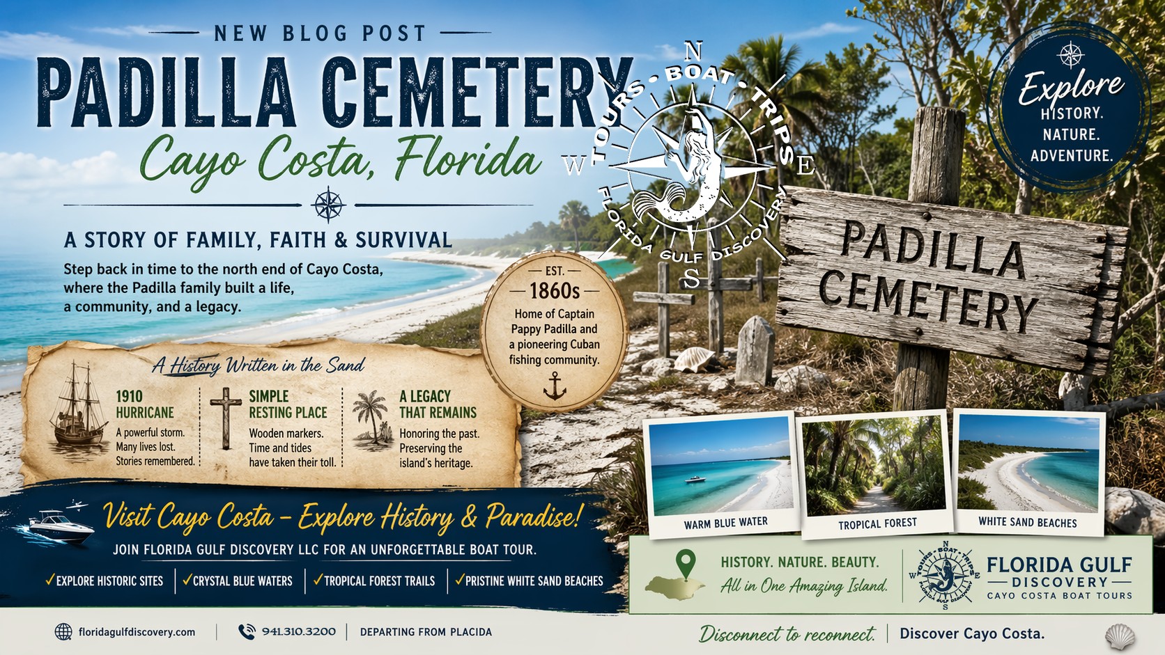
Explore Cayo Costa History: Discover Padilla Cemetery and Pioneer Cemetery on Cayo Costa with Captain Pavel. Learn about the early island families, fishing communities and people whose lives became part of the history of this remote Southwest Florida barrier island.
A Little History: Cayo Costa has supported people for thousands of years. Archaeological evidence shows Indigenous communities living on the island at least 4,000 years ago, and several ancient shell middens remain. The name “Cayo Costa” means “Key by the Coast” or barrier island and was given to the island by early Spanish traders. Cuban fishermen later established fishing ranchos here, catching and preparing fish for shipment to Cuban markets.
One of the best-known pioneers was Toribio “Captain Pappy” Padilla, who established a fishing settlement on northern Cayo Costa before the Civil War. Padilla and his wife are buried in the island’s historic family cemetery. An estimated 30 Cuban fishermen who died during the 1910 hurricane may also be buried there, although erosion has taken away part of the cemetery area. By the early 1900s, Cayo Costa had fishing villages, a school, post office, grocery store, pilots’ houses, and a quarantine station serving vessels entering through Boca Grande Pass.
In 1959, the federal government transferred a 640-acre reservation to Lee County for use as a park. In 1976, that property became part of what developed into today’s Cayo Costa State Park.
For me, Cayo Costa is one of the places that best explains why Southwest Florida should be explored from the water. There is no bridge and no highway bringing you to the island. You arrive by boat, step onto a largely undeveloped barrier island, and experience a coastline where nature, thousands of years of human history, and isolation still exist together.
Cabbage Key
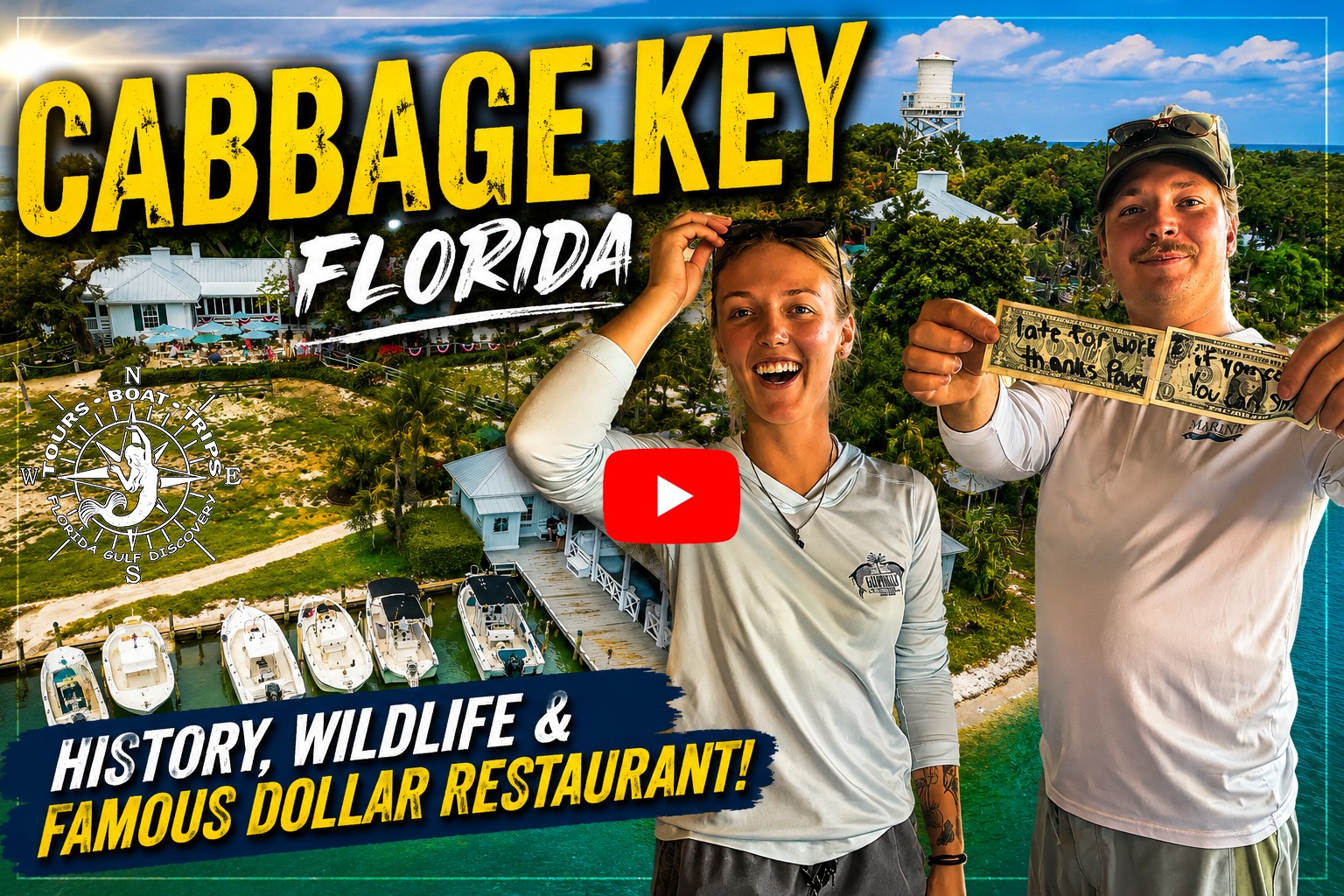
Watch on YouTube: Explore Cabbage Key with Captain Pavel and discover one of Pine Island Sound's most distinctive island destinations. See its Old Florida character, local wildlife, historic surroundings and the famous Cabbage Key Inn & Restaurant, known for thousands of dollar bills covering its walls.
Cabbage Key is a small, approximately 100-acre island in Pine Island Sound, located east of the southern end of Cayo Costa and near Useppa Island. Unlike the long barrier islands facing the Gulf, Cabbage Key sits within the protected waters of the sound. Mangroves, cabbage palms, tropical vegetation, historic buildings, and unusually high ground give the island its distinctive Old Florida character. With no bridge connecting it to the mainland, arriving by boat is part of the Cabbage Key experience.
What You Can Do & See: Cabbage Key is especially popular as a boat-access lunch destination. Visitors can dock at the island, enjoy a meal at the historic Cabbage Key Inn & Restaurant, walk the nature trails, explore the tropical vegetation, and climb the historic water tower for elevated views across Pine Island Sound. During the boat trip, you may also see dolphins, ospreys, pelicans, herons, egrets, and other coastal wildlife.
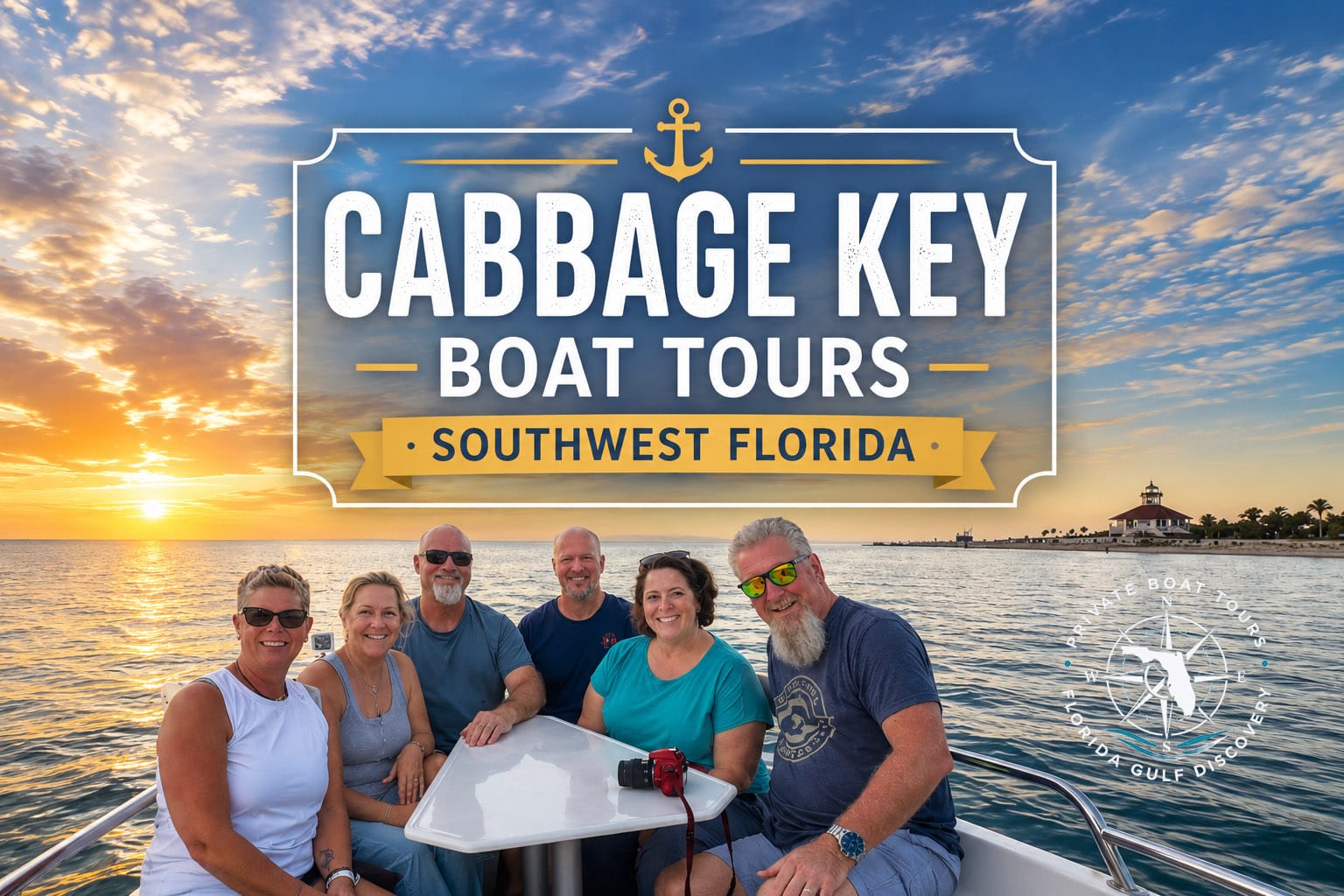
Explore Cabbage Key: Discover Cabbage Key with Captain Pavel on a private boat tour through Pine Island Sound. Explore this boat-access island's Old Florida atmosphere, tropical vegetation, local wildlife, historic surroundings and the famous Cabbage Key Inn & Restaurant.
A Little History: Long before today’s inn existed, Indigenous people occupied Cabbage Key and left extensive shell middens across the island’s natural sandy elevations. Archaeological evidence from surface collections represents occupation as early as approximately 500 B.C., and the island’s elevations reach about 38 feet. Historic charts identified the island as Guanal Key and Palmetto Island before it became known as Cabbage Key.
In 1936, Alan and Gratia Rinehart purchased Palmetto Key and began building a private winter estate. Their main house, completed in 1937, sits approximately 33 feet above sea level and later became today’s Cabbage Key Inn. The estate also included the distinctive water tower that visitors can still climb today. In 1944, Larry and Jan Stults purchased the property and converted the former private estate into a small island inn.
Another Cabbage Key tradition began around 1971, when visitors started attaching signed dollar bills to the bar. The exact reason the first bill was placed there has been lost to history, but the custom grew until the walls and ceilings covered with signed bills became one of the island’s most recognizable features.
For me, Cabbage Key is a good example of how a boat trip can become much more than simply cruising the coastline. You arrive from the water, tie up at an island dock, have lunch in a historic building, walk across land shaped by thousands of years of human history, and look out over Pine Island Sound from above.
Useppa Island
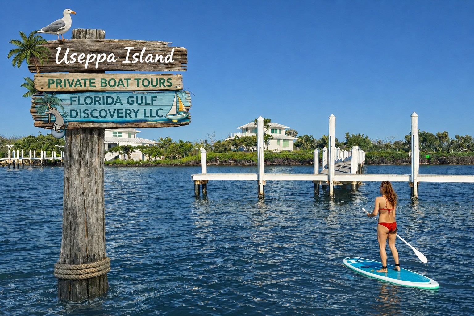
Useppa Island is a small, historic island in Pine Island Sound, located east of Cayo Costa and near Cabbage Key. It is about 1¼ miles long and up to ½ mile wide, with unusually high sandy ridges and shell middens rising above the surrounding waters. There is no bridge to the island, and access is primarily by boat, helping preserve its private-island character.
What You Can Do & See: From the water, Useppa offers views of its docks, historic homes, tropical vegetation, elevated ridges, and shoreline overlooking Pine Island Sound. The surrounding waters are good for watching dolphins, manatees, ospreys, pelicans, herons, egrets, and other coastal wildlife. Because much of Useppa is private, landing and access should only be made where permission or authorized access is available.
A Little History: Useppa has an exceptionally long human history. Archaeological evidence shows people using the island around 10,000 years ago, before rising seas had fully separated it from the mainland. Shell middens on the island date back roughly 6,000 years, and later occupations continued through several prehistoric cultural periods.
By the late 1700s, Useppa had become an important base for Cuban fishing ranchos. José Caldez established a seasonal mullet-fishing operation there in 1784, employing both Cubans and Native people. The island also became a military post: Fort Casey was established on Useppa in 1850 during the Third Seminole War, and Union sympathizers later used the island during the Civil War.
Useppa entered its resort era in 1896, when Chicago businessman John M. Roach purchased the island and built the Useppa Inn. In 1911, Barron G. Collier bought Useppa for $100,000 and transformed it into one of the country’s exclusive sporting retreats, closely associated with tarpon fishing and the Izaak Walton Club.
The island even played a role in Cold War history. In 1960, intermediaries for the CIA rented Useppa Island for the secret screening of Cuban exiles involved in preparations connected with the Bay of Pigs invasion.
For me, Useppa Island is fascinating because thousands of years of Southwest Florida history are concentrated into one small island. From the boat, you see a quiet tropical shoreline, but behind it are ancient archaeological sites, Cuban fishing history, military history, tarpon traditions, and generations of people who depended on these same waters.
Bokeelia Sandbar
Watch on YouTube: Explore the hidden sandbars of Bokeelia and Pine Island Sound with Captain Pavel. See shallow coastal waters, sandy flats, mangrove islands and lesser-known boating areas that reveal another side of Southwest Florida from the water and the air.
Bokeelia Sandbar is a shallow sandy area near Bokeelia at the northern end of Pine Island, surrounded by the waters and channels connecting Pine Island Sound and Charlotte Harbor. Unlike a permanent beach or island, the sandbar is a constantly changing natural feature. Its size, shape, water depth, and exposed sandy areas can look very different depending on the tide, currents, weather, and recent coastal conditions.
What You Can Do & See: Bokeelia Sandbar is a great place for anchoring, swimming, wading, relaxing in shallow water, photography, and wildlife watching. Depending on the tide, you may find broad areas of shallow water where you can step off the boat and enjoy the sand beneath your feet. Dolphins frequently travel through the surrounding waterways, and you may also encounter manatees, rays, ospreys, pelicans, herons, egrets, and other coastal wildlife.
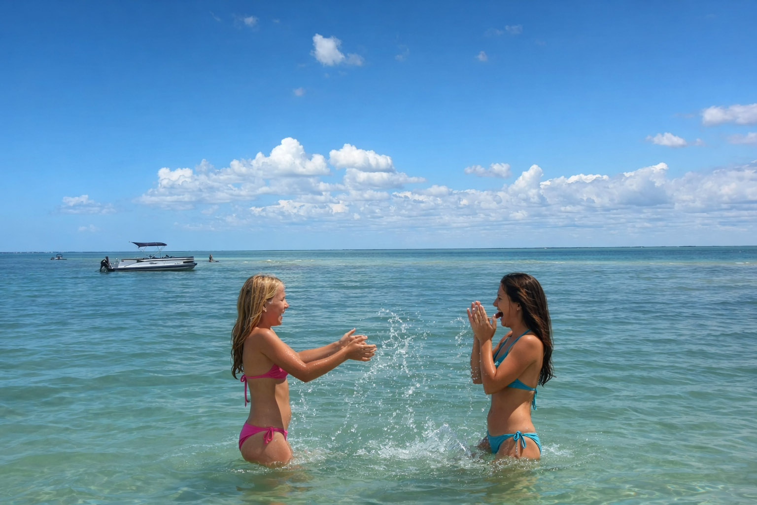
Explore the Hidden Sandbars of Bokeelia: Discover the shallow waters and hidden sandbars around Bokeelia with Captain Pavel. Explore Pine Island Sound's sandy flats, mangrove islands, quiet waterways and family-friendly places where you can stop, get into the water and experience another side of Southwest Florida.
A Changing Sandbar: Bokeelia Sandbar should never be thought of as a fixed piece of land. Tides can expose or cover it within hours, while currents, storms, and moving sediment can gradually reshape the bottom. A shallow area you remember from a previous trip may look different when you return, which is one reason local knowledge and careful observation of water depth are important here.
For me, Bokeelia Sandbar is not only about reaching a patch of shallow water. The route there is part of the discovery. Pine Island Sound, narrow channels, mangrove islands, changing water depths, wildlife, and the quiet waters around northern Pine Island make the journey just as interesting as stopping at the sandbar.
Pine Island Sound
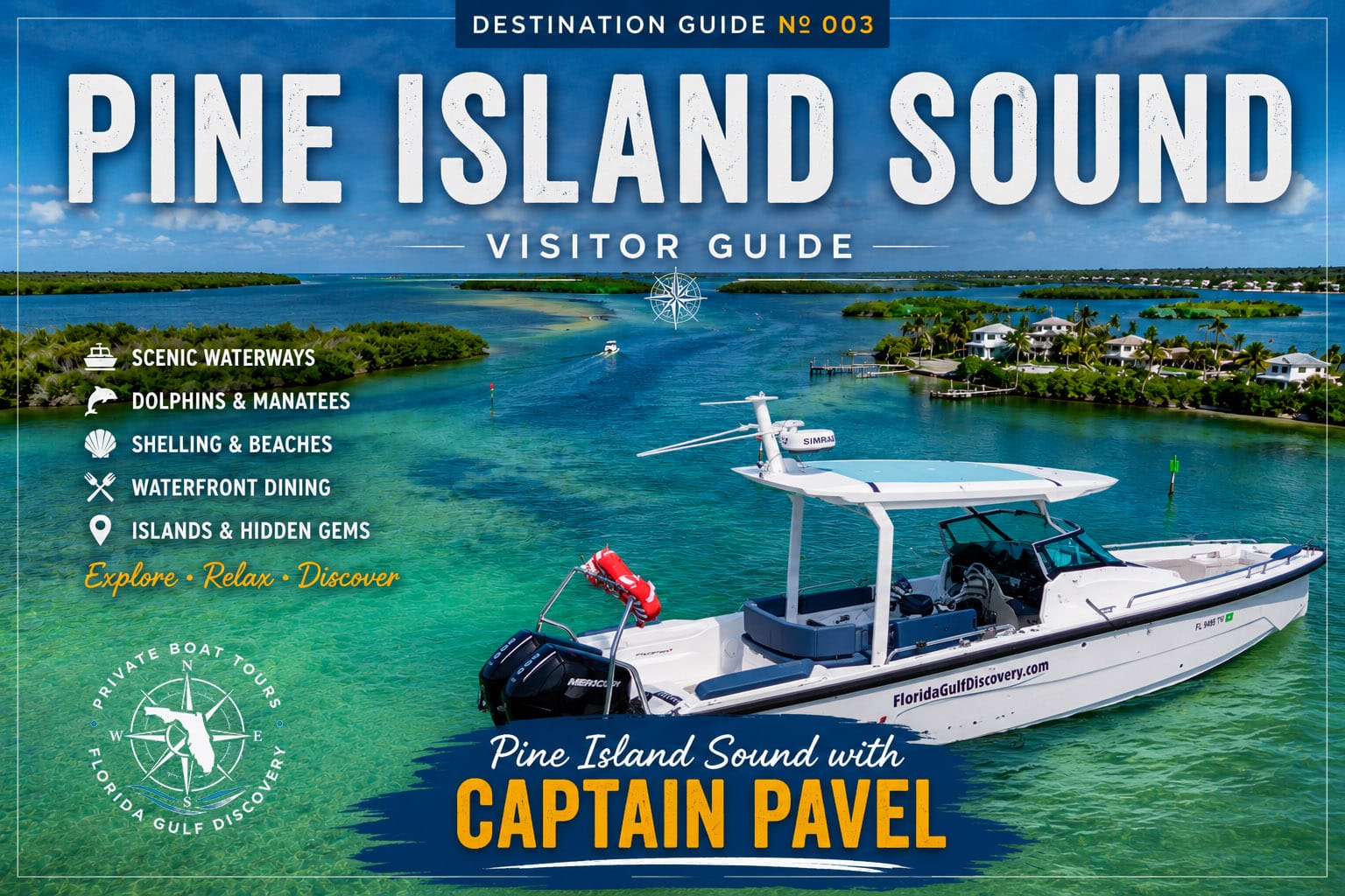
Pine Island Sound is a broad, shallow estuary between Pine Island to the east and Cayo Costa, North Captiva, Captiva, and Sanibel to the west. Its mangrove islands, seagrass beds, shallow flats, and channels create one of Southwest Florida’s most important coastal environments.
What You Can Do & See: Exploring Pine Island Sound by boat provides access to Cayo Costa, Cabbage Key, Useppa Island, Bokeelia, North Captiva, Captiva, and surrounding Gulf passes. Along the way, watch for dolphins, manatees, sea turtles, rays, ospreys, pelicans, bald eagles, herons, and other coastal wildlife.
A Little History: People have depended on Pine Island Sound for thousands of years. The Calusa built a powerful maritime society around these waters, leaving shell mounds, middens, canals, and archaeological sites throughout the region. Later, Cuban fishing ranchos and commercial fishing communities continued the area’s strong connection to the water.
For me, Pine Island Sound is more than one destination—it is a water highway connecting many of the places I explore by boat. Every direction can lead somewhere different: a barrier island, mangrove channel, historic island, Gulf pass, restaurant dock, or quiet stretch of shallow water.
Captiva Pass
Captiva Pass is a natural Gulf inlet separating Cayo Costa from North Captiva Island, connecting the Gulf with Pine Island Sound. It is part of Southwest Florida’s constantly changing barrier-island system, where tides, currents, storms, and moving sand continually reshape the shoreline and surrounding shoals.
What You Can Do & See: By boat, Captiva Pass offers views of Cayo Costa, North Captiva Island, Pine Island Sound, and the open Gulf. Dolphins are common in the surrounding waters, and you may also see sea turtles, rays, manatees, pelicans, ospreys, and other coastal wildlife. Currents, shoaling, tides, and changing conditions require careful navigation.
A Little History: Captiva Pass has existed for centuries. Geological research suggests the inlet may have opened between approximately A.D. 650 and 1350. A Spanish map from 1757 identified an inlet near today’s Captiva Pass as “Boca Del Cautivo.” The pass and surrounding barrier islands have continued to change as sand moves along the coast.
For me, Captiva Pass is another reminder that Southwest Florida’s coastline is never completely fixed. From the boat, you can see the open Gulf on one side, protected Pine Island Sound on the other, and two barrier islands shaped by centuries of moving water and sand.